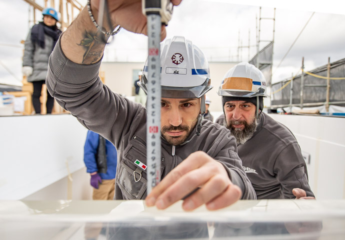
Nikon D4 + Nikkor 14-24mm f/2.8 @ 18mm — 1/8000 sec, f/2.8, ISO 800 — image data
Precision
(photo is unrelated to the text of this article)
I've been testing a new cycling computer, a Bryton Rider 450. I was shocked to find out some information about its satellite-positioning features that isn't covered in the manual, so I'm sharing that info here.
As a bit of background, folks often use the “GPS” as a generic term for “satellite positioning system”, but in reality, GPS is the specific satellite positioning system built and deployed (and offered as a gift to the world) by the United States of America. It used to be the only one, but now there are several. Russia has its unrelated GLONASS system, the European Union has its Galileo system. These all provide global coverage. Regional systems include China's Beidou system (which will eventually be global), and India's IRNSS system.
In addition, Japan has a small four-satellite augmentation to the United States's GPS system called “QZSS” (みちびき in Japanese).
The Bryton Rider 450 is advertised to work with all of these except IRNSS. This in theory would allow my use here in Japan to benefit from the three truly-global systems (GPS, GLONASS, and Galileo), and two regional systems (Beidou and QZSS), so hopefully it would be more accurate than other units I've used.
(In years past, I've posted a few articles about GPS accuracy, including here and here.)
So it was with dismay that I opened up the configuration menu on the unit to find only these options available:
- GPS + Beidou
- GPS + Glonass
- GPS + Gal + QZ
This seems... unimpressive and disappointing.
I wrote to the company asking about this, and was told what the options really mean:
| Menu Option | GPS global |
Galileo global |
QZSS Japan |
Beidou Asia Pacific |
GLONASS global |
|---|---|---|---|---|---|
| GPS + Beidou | ✓ | ✓ | ✓ | ✓ | |
| GPS + Glonass | ✓ | ✓ | ✓ | ✓ | |
| GPS + Gal + QZ | ✓ | ✓ | ✓ |
This means that the GPS, Galileo, and QZSS are always enabled, and that you can optionally enable the global GLONASS or currently-regional Beidou systems.
What horrible menu labels, obfuscating what they really mean. There's plenty of space on the screen, so there's no excuse for this stupidity.
In Japan, the company recommended “GPS + Beidou”. Wikipedia tells me that Baidou will eventually be more accurate globally than GLONASS (or GPS or Galileo, for that matter), and it perhaps already has better coverage for the Asia-Pacific region.
I'd like to do tests where I bring six units (two at each setting) on the same ride, to compare and contrast the results in different situations, but I'm not about to spring for five more units just for that. Oh well.
(The lead photo, which I hope gives the feeling of “precision” to go along with this article, is from something I hope to be able to write about later.)
Hi Jeffrey! Thank you so much for looking into this and contacting Bryton for all of us users.
I agree about the labeling of the satellite options. Absolutely nuts!
I will try out the Beidou option tomorrow hopefully. I will also put my cheap speed sensor on the bike to see if that helps with the timing situation. (Until recently I only used the Bryton 410 with my Giant ridesense sensor – speed cadence in one unit – on a different bike and although there was difference it was slight.) I am presently using the Bryton on my commute which only has a cadence sensor, the rest I have to rely on GPS.
The moving time recorded on the Bryton appears to be what I would expect but the problem is how Strava interprets this information. However, considering your suggestion, maybe Strava doesn’t accept the stops as stops because it is GPS based. So, all being well, attaching a speed sensor might rectify that problem. I shall keep you posted on my findings!! Thanks again.
Thanks, I just got a Bryton 420 and was wondering about the satellite config – yours is the only info I’ve found!
In your bryton manual you can see this information about satellite settings.