So, the idea for the day was simple: join Antti's farewell ride until they hit gravel, then go off on my own to find a spot to set up a hammock and relax with a book for a while.
It didn't work out that way.
iPhone 7 Plus at an effective 28mm — 1/710 sec, f/1.8, ISO 20 — map & image data — nearby photos
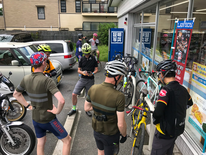
Gathering
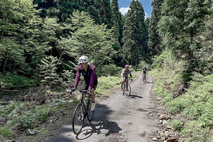
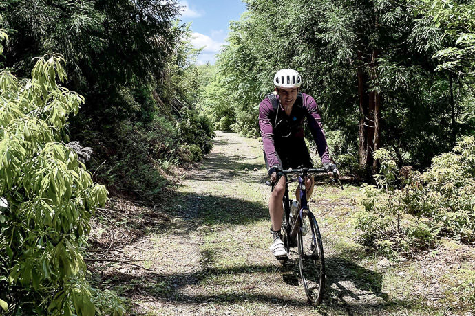
Antti is returning to Finland after many years in Kyoto. He's left his mark on the Strava leaderboards, and on his friends' hearts. His farewell ride was to be a gravel affair; I have no interest in riding on gravel, but I thought I'd join for the road part, bringing along my hammock to set up somewhere in the countryside to relax after reaching the gravel.
iPhone 7 Plus at an effective 28mm — 1/500 sec, f/1.8, ISO 20 — map & image data — nearby photos
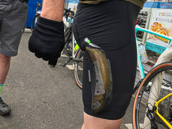
Christoph's Quick-Draw Banana

iPhone 7 Plus at an effective 28mm — 1/1400 sec, f/1.8, ISO 20 — map & image data — nearby photos
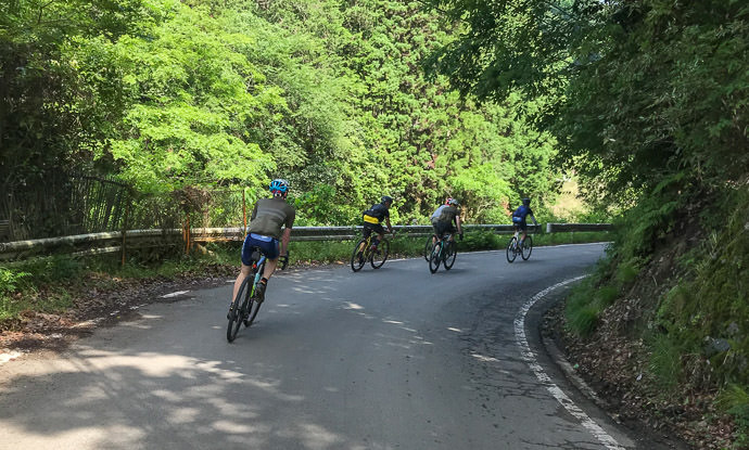
Heading Out
iPhone 7 Plus at an effective 28mm — 1/950 sec, f/1.8, ISO 20 — map & image data — nearby photos
Into the Mountains
of northern Kyoto, toward Kumagahata
iPhone 7+ + iPhone 7 Plus front camera 2.87mm f/2.2 at an effective 32mm — 1/30 sec, f/2.2, ISO 40 — map & image data — nearby photos
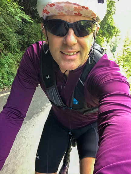
I'm Wearing a Backpack
with a book and a hammock
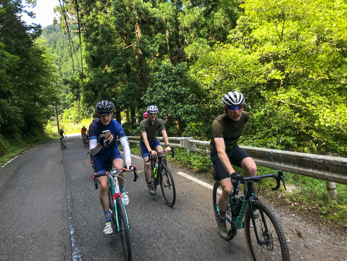
iPhone 7 Plus at an effective 28mm — 1/230 sec, f/1.8, ISO 20 — map & image data — nearby photos
Dude, Using a Phone while Riding??
(taken with my iPhone)

iPhone 7 Plus at an effective 28mm — 1/750 sec, f/1.8, ISO 20 — map & image data — nearby photos
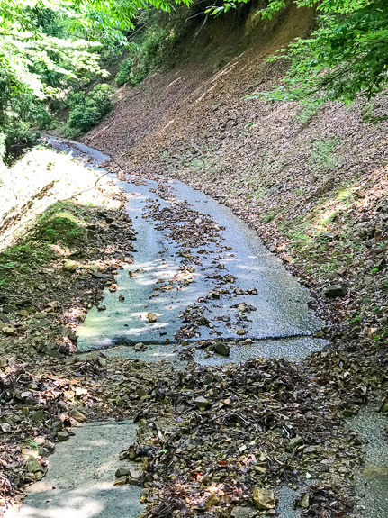
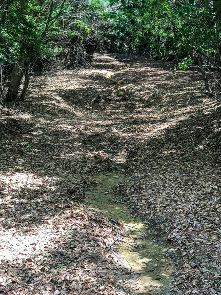
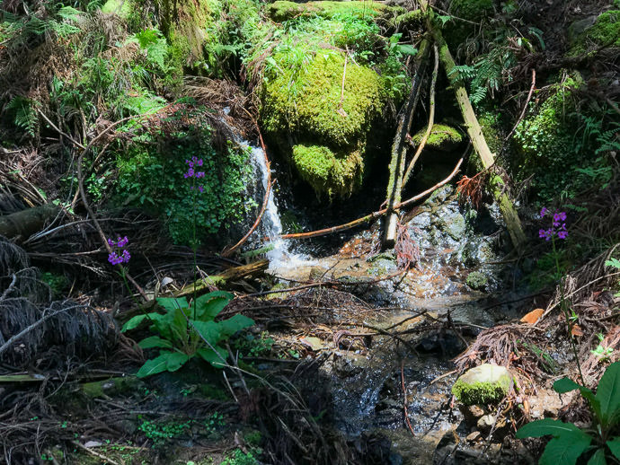
Lots of Rain the Last Few Days
has filled this debris catcher above a small waterfall
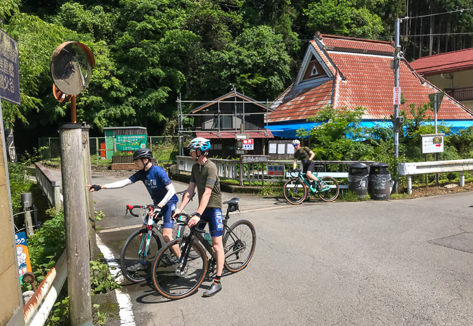
iPhone 7 Plus at an effective 28mm — 1/1500 sec, f/1.8, ISO 20 — map & image data — nearby photos
Checking Which Way to Go
They decided to head up a road that is part of my Kyoto “Tree of Pain” ride (a ride with more than 4,600m/15,000' of climb). On the Tree-of-Pain ride I don't take it very far, because that would make the tree look lopsided. The paved road continues on to a 3.5km climb at more than 11%, which I'd done once before, but only the one time because it requires a generous interpretation for both “paved” and “road”. The whole way is strewn with rocks and all manner of debris, and for some stretches there's not even a pretense of pavement.
But that's what they were going to do today.
iPhone 7 Plus at an effective 28mm — 1/1000 sec, f/1.8, ISO 20 — map & image data — nearby photos
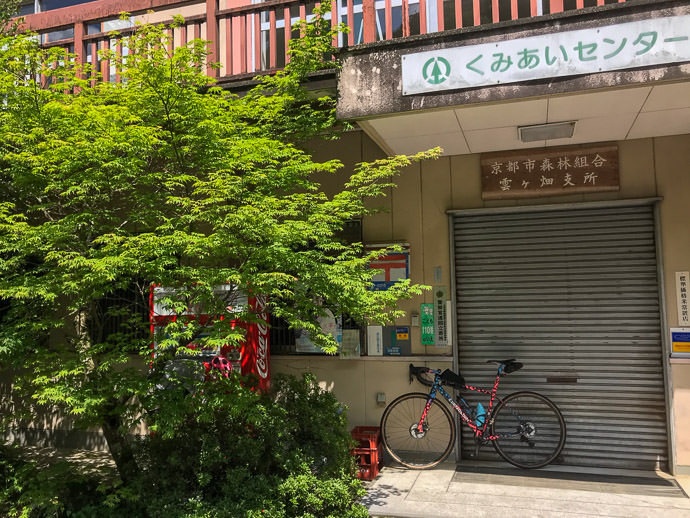
But First, Water
I'd ridden near hear six dozen times, but didn't know this vending machine existed

iPhone 7 Plus at an effective 28mm — 1/1150 sec, f/1.8, ISO 20 — map & image data — nearby photos
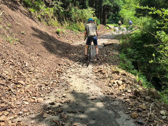
Landslide
probably from last year; they're common in these mountains
iPhone 7 Plus at an effective 28mm — 1/750 sec, f/1.8, ISO 20 — map & image data — nearby photos
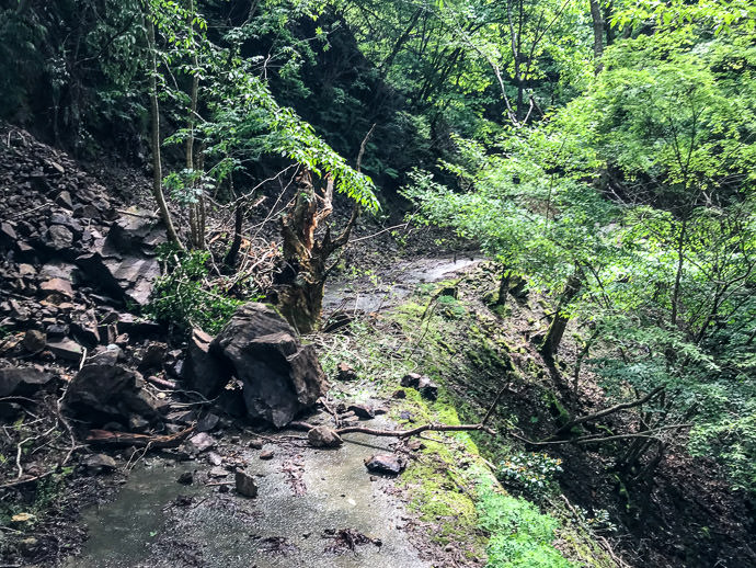
Now on the Hard Climb
Harder more for the surface “quality” than the steepness, but both are hard
I figured that I'd bail some time during this climb — my hammock was calling, after all, and I hated gravel — but as we went, I somehow talked myself into doing the whole climb, even though the last ~600m is steep gravel. I guess I wanted to complete the segment. They'd continue on with their gravel play and I'd return down this horrible road back to civilization.
iPhone 7 Plus at an effective 28mm — 1/130 sec, f/1.8, ISO 20 — map & image data — nearby photos
Mini Landslide
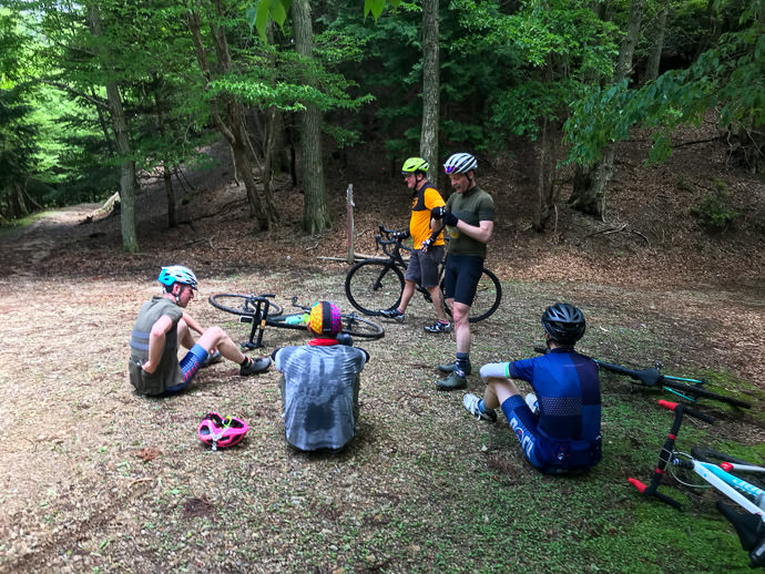
The road was even worse than I remembered. We had to walk some sections due to the sharp rocks, or mini landslides. It wasn't particularly fun, but it was nice to ride with friends. To make it worse, my rear derailleur was getting increasingly unsmooth and noisy, and eventually it got to the point where I couldn't move the pedals backwards. Adjusting the Di2 indexing didn't help, so I figured that I must have bent it slightly somehow. Sigh. I'd have to go to a shop after returning to the city. To make matters worse, the walking on the rocks broke one of my cleats (that locks my shoe into the pedals), so I couldn't put in power while pedaling without my foot slipping out. Double sigh.
At least I had my hammock to look forward to.
iPhone 7 Plus at an effective 28mm — 1/120 sec, f/1.8, ISO 25 — map & image data — nearby photos
At the Top
At the top, I lamented about my derailleur situation. Antti came over to look at it and found that the bolt holding it to the frame was super loose. Doh! I'd never thought to check that, never having had it come loose in my cycling career. A few turns of a hex wrench and it was good as new. Thanks Antti!
The others spent some time discussing the relative pros and cons of continuing in each of the two directions that the gravel road split from there. It turned out, I was told, that if I went the one direction, it would have some steep gravel sections that I might have to walk, but it would lead fairly quickly to a proper paved road that I knew. The other direction, which they decided to go, would have been much harder on my road bike. I didn't want to descend on the long horrible road we'd just climbed, so I thought that a few minutes of gravel walking would be worth it to get to the paved road quickly. Other than my derailleur and cleat, it'd been a great day, so off I went on the short but unknown gravel section.
And there began my real troubles.
The gravel path went softly downhill for a while, then plummeted steeply down for a while further. "Well, I'm definitely not going to want to ride back up that, so I'm committed to this route, I guess."
But after about 800m, I came to an intersection and had to check the map. According to my map, which was clearly incomplete, the main “road” (rough gravel path) that I was on did not lead quickly to a paved road, but it was more in the general direction than the alternative (which was not on my map), so I continued straight.
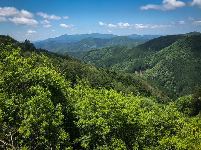
A few hundred meters later, I came to another fork. This time the alternative was on my map, and though it didn't lead to the paved road on the map, it went in that direction. This must be the road, so I took it. Very steep, and there was increasingly junk car parts strewn along the side, so I felt that yeah, I'm getting close to the proper paved road. Until it ended in the thick, steep forest, 250m from the road:
Sigh. I walked back up, pushing my bike. (Remember, I can't really ride up anything steep with my broken cleat.)
iPhone 7 Plus at an effective 28mm — 1/1900 sec, f/1.8, ISO 20 — map & image data — nearby photos
Well, Okay, This is Nice
iPhone 7 Plus at an effective 28mm — 1/30 sec, f/1.8, ISO 32 — map & image data — nearby photos
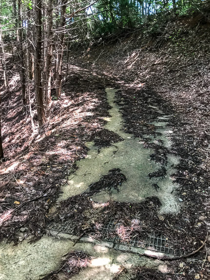
Yeah, Paved Road!
Continuing down, the road suddenly became paved (and got even more steep). Yay, this must mean that I've almost reached a proper road!
Hope was shortlived, as the pavement quickly gave way to gravel again. Sigh.
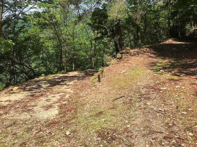
I came to another fork, this time where the main path I'd been on suddenly started going steeply up, parallel with the nearest proper road. The offshoot went toward the proper road, so I took it, diving down into a ravine.
iPhone 7 Plus at an effective 28mm — 1/1250 sec, f/1.8, ISO 20 — map & image data — nearby photos
Fork
I'd come from the right.
Behind me the road continued up sharply.
I took the descent to the left.
Here I got within 200m of the proper road, but again the path just ended.

iPhone 7 Plus at an effective 28mm — 1/180 sec, f/1.8, ISO 20 — map & image data — nearby photos
Looking Back
from another dead-end
iPhone 7 Plus at an effective 28mm — 1/120 sec, f/1.8, ISO 32 — map & image data — nearby photos
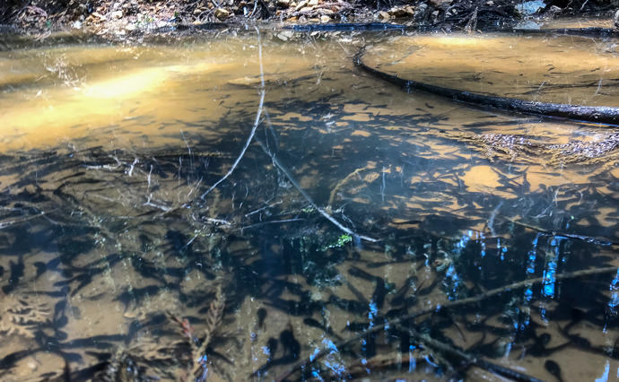
A Thousand Tadpoles
in a puddle the size of two pool tables
This is getting tiresome. I started to walk back up, then I realized that I had lost one of my cleat covers, which I had been using to make walking on the rocks easier. So, the whole time I'm pushing my bike back up as I return toward the main path, I'm scanning the rocky ground for my lost cover.
I didn't find it, but I did eventually realize that I'd now lost the other one. Triple sigh.
I really didn't want to continue on the main path. By this time I realized that it wasn't going to connect to a proper road for several kilometers. I had hoped that it would all at least be downhill, but now I had this steep climb to look forward to. I couldn't ride such a steep road uphill with my broken cleat, and that's just as well because I was in no mood to do it. I pushed the bike for a long time.
Eventually it started downhill again, and the road was ostensibly paved (again, using the words “paved” and “road” generously), so I thought that finally my ordeal would be over soon. How quaint.
iPhone 7 Plus at an effective 28mm — 1/1250 sec, f/1.8, ISO 20 — map & image data — nearby photos
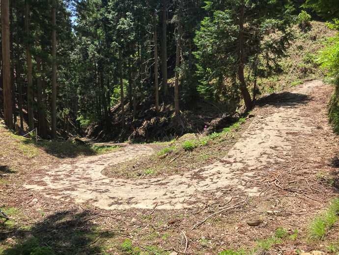
Rock-Strewn Road
at least nicely paved in this section
iPhone 7 Plus at an effective 28mm — 1/900 sec, f/1.8, ISO 20 — map & image data — nearby photos
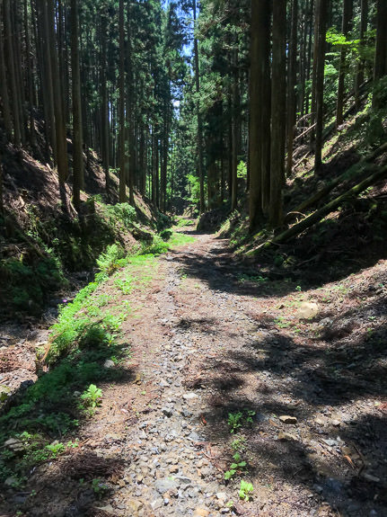
Now This is Getting Ridiculous
these are chunks of rock, not “gravel”
The road got somewhat nice and steeply downhill, so now I hoped it'd be a breeze to return to the proper road.....
iPhone 7 Plus at an effective 28mm — 1/1000 sec, f/1.8, ISO 20 — map & image data — nearby photos
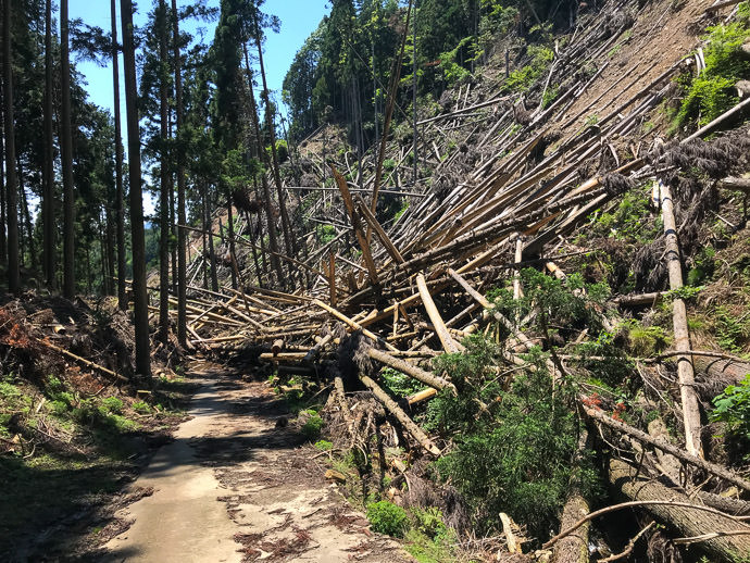
Aw, Fuck
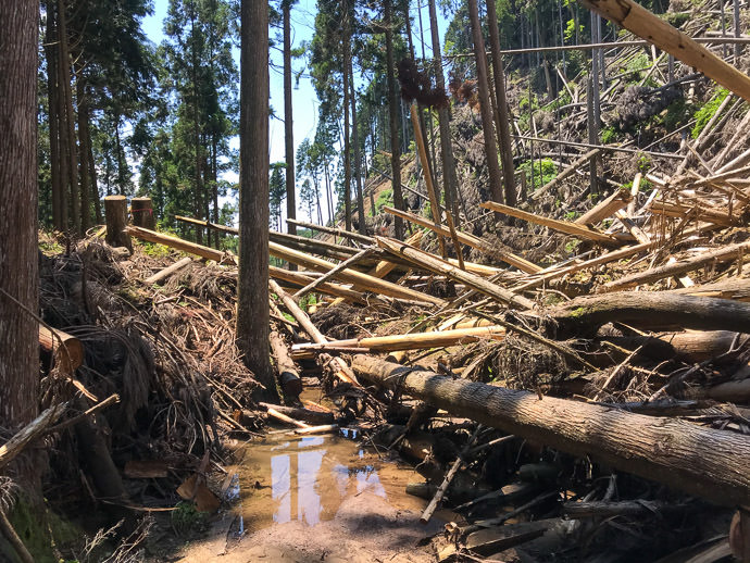
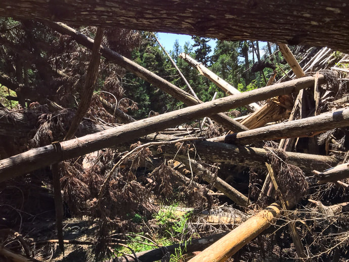
I came around a curve, and found that the road had disintegrated and was covered by a jumble of fallen trees due to a landslide. There was no freakin' way I was going to retrace my steps, so I very much wanted to get past it.
iPhone 7 Plus at an effective 28mm — 1/850 sec, f/1.8, ISO 20 — map & image data — nearby photos
This is What I Have to Deal With
I have some experience climbing through/over this kind of jumbled piles of trees (see “Surveying Supertyphoon Jebi’s Damage North of Kyoto, Part 1” and Part 2), but for this I had to take a different tack.
I left the bike and walked back uphill far enough until I found a place where I could climb up the mountain on the non-slide side, and make my way across to just above the landslide. I could see from there that the road just beyond the logjam was clear, and that I could probably get back down to the road safely. Good enough.

iPhone 7 Plus at an effective 28mm — 1/640 sec, f/1.8, ISO 20 — map & image data — nearby photos
View from Above the Blockage
So, I returned to fetch the bike.
iPhone 7 Plus at an effective 28mm — 1/580 sec, f/1.8, ISO 20 — map & image data — nearby photos
No Way Around This

iPhone 7 Plus at an effective 28mm — 1/850 sec, f/1.8, ISO 20 — map & image data — nearby photos
Looking Back After Getting Past
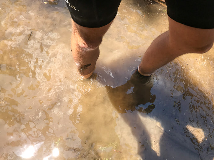
So, I was safely past. My shoes were waterlogged and my legs were covered in bloody scratches, but I had gathered no leaches and no broken bones, so I felt triumphant. (I see now that it took just 13 minutes for me to get past, but it felt at the time like it was an hours-long endeavor.)
You'll notice how devoid of rocks the road is on the downstream side of the blockage, and that's because it was a stream. Water was rushing down the road, edge-to-edge, and that had cleaned away all the rocks. Yeah.
So, past this obstruction, I continue back to civilization!
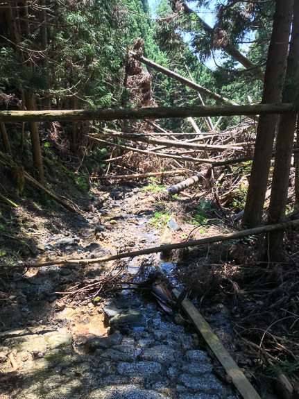
Or not.
iPhone 7 Plus at an effective 28mm — 1/260 sec, f/1.8, ISO 20 — map & image data — nearby photos
Just Around the Next Bend
iPhone 7 Plus at an effective 28mm — 1/620 sec, f/1.8, ISO 20 — map & image data — nearby photos
Nope, This One Defeats Me
While risking my life trying to get around the previous jumble of trees, it was very much on my mind that the last thought that went through some people's mind right before they died was “Yeah, I can do this!”.
I still had a long way to go before reaching a proper road, and I didn't know how many more of these landslides there might be before then. I had climbed up into this second jumble to see whether I could find a way past, and I couldn't. But even if I did, I might not be able to get past the next one, and I might not be able to return. It was just too dangerous, so I bit the bullet and decided to retrace my path all the way back to where I'd left the others, then descend on that horrible road we'd ridden up.
Getting back around the first jumble of trees was even harder from this downhill side, and I still don't know how I was actually able to do it. The embankment that I had to scale was extremely steep without much to hold onto.
But I made it, and slowly walked back up the mountain.
The whole time I was descending the horrible road we'd ridden up, I just knew that I'd get a puncture, as the cherry on top of the day, but I didn't. I've been using Continental Gatorskin tires for about five years, and have not had a single puncture flat since. (Well, I've had three pinch flats, which were because I hadn't kept enough air pressure, and a few flats because the tube seams had just given way due to age or poor manufacturing; the tires have performed perfectly.)
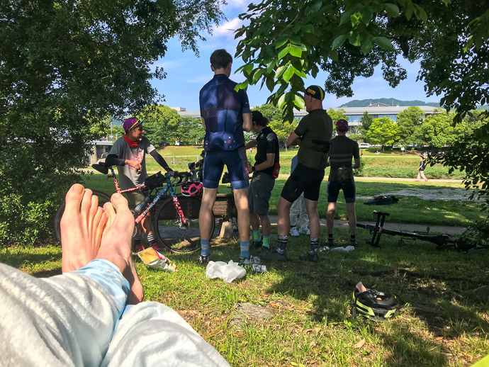
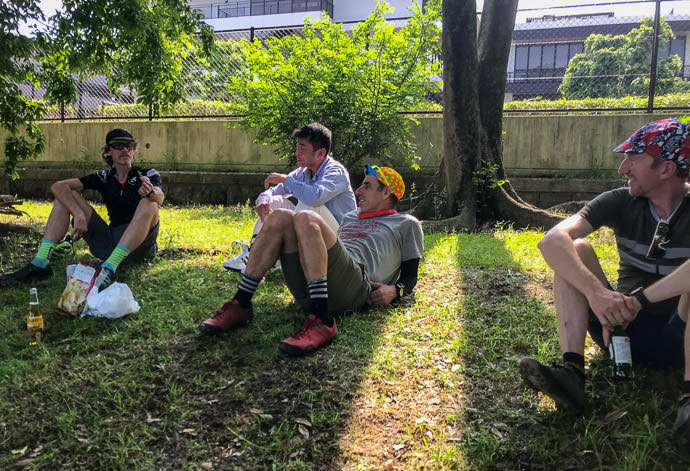
Eventually I made it back into cellular range, and found a message from Antti saying that they were having beers by the river in the city, so I decided to forego the hammock and go directly there. I felt so stinky and disgusting that I thought about heading home to clean up first, but in the end I found them all chilling.
In the ensuing discussion, it turns out that I had been told to make a specific turn just ~200m from where I left them, but I hadn't heard that part, nor even seen that turnoff when I went by. (I did see it on the way walking back, and figured that that must be the way. I was very tempted to try it, because I really didn't want to descend the horrible road we'd all ridden up, but no, I wasn't going to take any more chances today, so I stuck with retracing my steps.)
iPhone 7 Plus at an effective 28mm — 1/900 sec, f/1.8, ISO 20 — map & image data — nearby photos
Relaxing in the Hammock
iPhone 7 Plus at an effective 28mm — 1/1150 sec, f/1.8, ISO 20 — map & image data — nearby photos
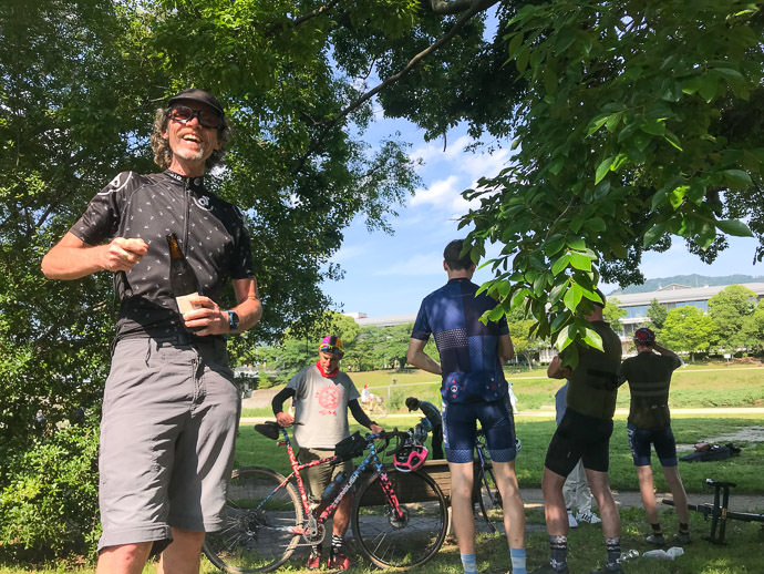
Saint Nigel Brings me a Beer
anyone who brings you a beer after such a day is a saint
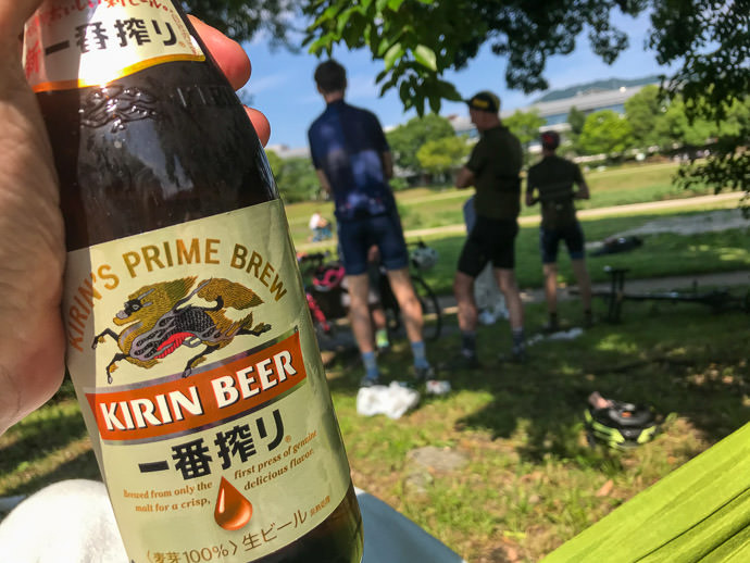
iPhone 7 Plus at an effective 28mm — 1/1400 sec, f/1.8, ISO 20 — map & image data — nearby photos
Delicious
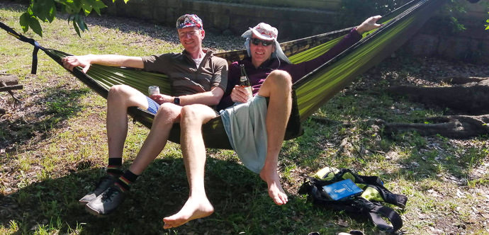
map & image data — nearby photos
Ross Gives the Hammock a Try
and discovers the uncomfortable truth about how gravity shoves everything together toward the middle
photo by Nigel Randell
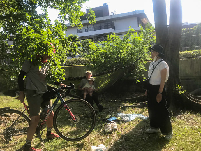
iPhone 7 Plus at an effective 28mm — 1/720 sec, f/1.8, ISO 20 — map & image data — nearby photos
Neil and Alwyn
giving the hammock a try
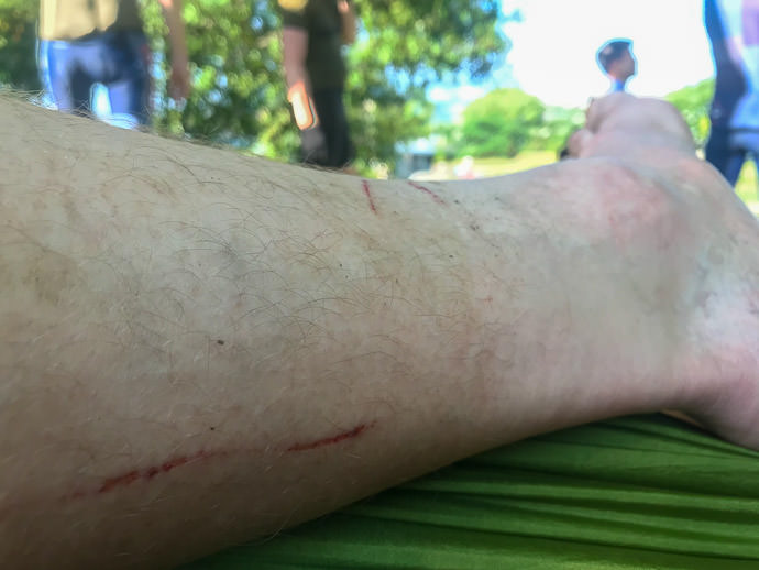
iPhone 7 Plus at an effective 28mm — 1/120 sec, f/1.8, ISO 25 — map & image data — nearby photos
Some of my Battle Scars
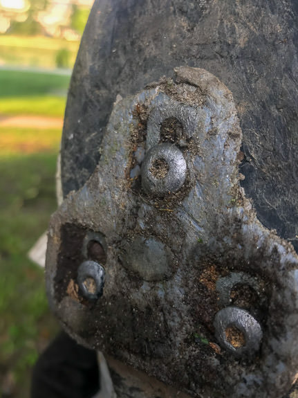
iPhone 7 Plus at an effective 28mm — 1/120 sec, f/1.8, ISO 25 — map & image data — nearby photos
My Poor Cleat
iPhone 7 Plus at an effective 28mm — 1/800 sec, f/1.8, ISO 20 — map & image data — nearby photos
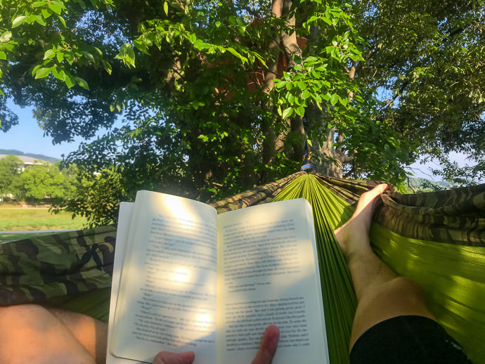
Finally Enjoying my Book
I know that exact route, and the mazes along the way. There were indeed a few more further on, so you made the right choice.
And this is why I spent most of last summer doing all the hiking routes that interested me along the northern edges of the city. Between the landslides, and the aggressive overlogging to prevent future landslides, there won’t be much forest left to enjoy.
“Aggressive overlogging to prevent future landslides” is so ironic, because one doesn’t see landslides in the forests that are still native. —Jeffrey
I somehow stumbled across your blog one day.. I have no idea how, but I have really enjoyed reading about your ‘adventures’! Someday, I hope to visit Japan, but in the meantime, I will live vicariously through you, if you don’t mind.
All the best, Andrea Loewy, Powhatan, Virginia
It’s a pity you blurred the book, I was curious 😉
There was some spicy language on the visible page. I borrowed a bunch of books from a friend, and it’s the first fiction book I’ve read in ages: Apathy and Other Small Victories. Quirky. —Jeffrey
Wow! That looks like an epic ride, with new surprises around each bend. I’d say you earned that hammock time! 🙂
Great stuff and thanks for documenting your painful adventure so well. I tried to envision myself in the same situation and it was surely not as pleasant as your photos suggest!