iPhone 6+ back camera — 1/490 sec, f/2.2, ISO 32 — map & image data — nearby photos
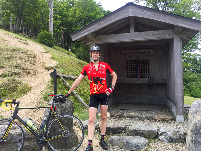
Yesterday, at Onyu Pass
after 66km or riding, 1,650m of climb, and one flat tire
おにゅう峠。そこまではパンク一つ、距離66km、獲得高度1,650m
Having been back in Kyoto for two weeks after having been away for three months, I finally started to ease back into real cycling with my first challenging ride since January (probably since doing Sugino Pass three times in a row on Jan 11).
I'd built up slowly with some simple rides, but nothing with a lot of climbing. I was surprised to find during those simple rides that I was doing much better on short/intense climbs than I did before the three-month break, and I wondered whether this unexplained fitness would transition to longer climbs.
The answer turned out to be “no”.
For yesterday's route, I more or less retraced the loop seen in last October's “The New Bike Is Fast; I’m Just Going Along For The Ride”, but with a different tactic.
First, here's yesterday's ride:
Still too wimpy to try to give full effort on a long climb, I decided to try a steady pace between Ichihara (the last built-up area before diving into the northern mountains) and Onyu Pass way up north 20km short of the ocean. The route starts at an elevation of about 150m and goes over two passes (Hanase at 760m and Nomi at 657m) before ending up at Onyu Pass's 839m. In between the passes is lots of downhill and/or gently-sloping rises.
It's not a route that folks generally try to do in one shot — there are a lot of inviting places to stop and relax along the way — so I knew that if I stopped only occasionally to get drinks, I'd rank near the top on the long 58km segment. I was slow and lethargic up the climbs, but quite fast down the descents, adopting a super aero position on the downhills (my top speed of the day was 75kph / 46mph). But overall, simply choosing not to dally gave me the top spot by a wide margin.
Even losing 16 minutes to a puncture near the end (and to having to scramble down a ravine to fetch the water bottle that rolled away while fixing the flat), I made the top spot by half an hour (3h17m vs. 3h49m).
I sort of hope some of my friends see this as a challenge and show me what a real effort might produce. I expect some of them could easily beat 2h45m.
Anyway, the puncture on the way up Onyu took the wind out of my sails, but I was already tired to begin with. I took a half-hour nap at the summit, and ate a lot of carbs. To avoid “The Bonk” (running out of energy) I tried using energy gels every hour. I think they worked, because my fatigue was more basic than just an empty gas tank... I was just at the edge of my fitness level.
But at $2+ each, and one per hour, those energy gels become pricey! Between those and the carbo cookies and all the drinks I bought, I probably spent a good $25 on keeping myself going. That's a lot for each ride!
The scenery of Kyoto's mountains was, as usual, just stunning. I didn't bring the camera, but snapped a few photos with my iPhone, but they just don't do anything justice, even after trying to bring out some oomph in Lightroom.
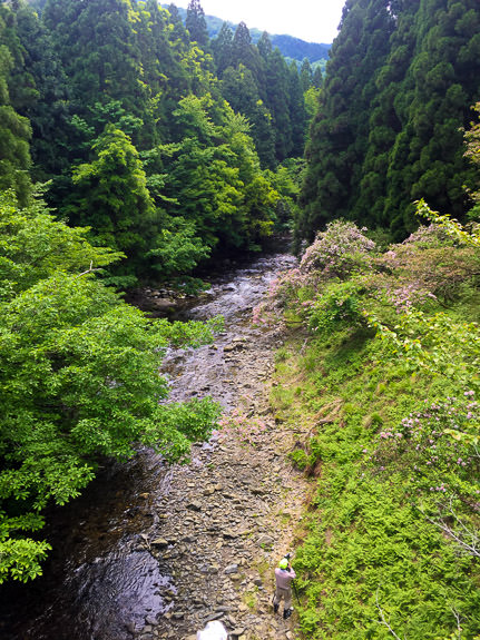
Case in point: this scene, from a bridge near the start of this lovely secret 8% climb, was in real life just wonderful...

iPhone 6+ back camera — 1/350 sec, f/2.2, ISO 32 — map & image data — nearby photos
Blah Photo of a Wow Scene
Although the photos shows none of it, the trees near the center of the frame ware just bursting with joyous pink blossoms. It's what the photographer at the bottom of the frame was pointing at. (Didn't notice the photographer? That's okay; he didn't notice me, either 😉 )
By the time I got to any kind of major road, I was pretty tired and ready for home, but to get there I still had another 43km of distance and 500m of elevation to take care of.

iPhone 6+ back camera — 1/1150 sec, f/2.2, ISO 32 — map & image data — nearby photos
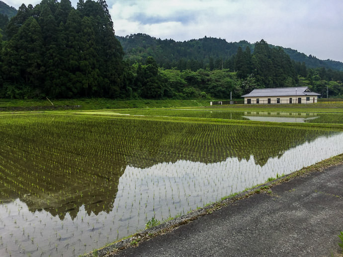
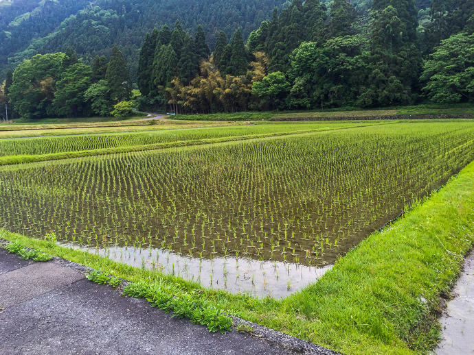
Rice-Planting Season
In the end, just as I re-enter Kyoto, is a short downhill sprint I like to try, but alas was again thwarted near the end by a bus lumbering in the way. Even then I averaged 55kph for the whole 600m distance, but the bus ensured that no PR would be set. My PR (51s) is just three seconds shy of the record (48s), and I think I've got it in me to actually beat it. I'll have to give it a shot sometime when my legs are fresh, and there's no traffic.
But not today. I'm still pretty sore and tired from yesterday.

京都と福井県の県境は地形が複雑で植物も多様ですね。いろんな緑があって気持ちまできれいになります。ありがとうございます。
Hello,
I came here via looking into “barometric altimeter” stuff and saw your post from over nine years ago! 🙂 I see now you are cycling, so how do you find Elevation data now? Are you using a Garmin edge?
Happy cycling!
David
For a while I tried to massage the barometric data, but gave up and now I use a map of thousands of hard-coded known-elevation points to correct my data. —Jeffrey