Panasonic LX100 at an effective 24mm — 1/400 sec, f/5.6, ISO 200 — map & image data — nearby photos
Such a Lovely Day to be Outside
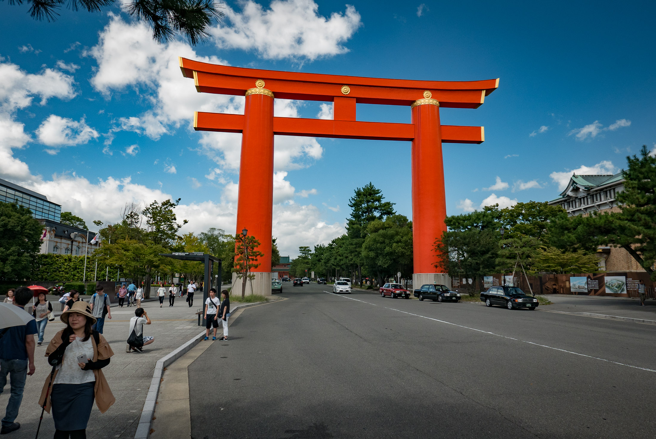
main gate of the Heian Shrine, Kyoto Japan
I had an enjoyable bike ride of exploration around the nooks and crannies of Ohara the other day, so I thought I'd share some photos. Here's the ride at Strava:
The impetus for this ride was to check out some of the minor roads I'd seen on 路面と勾 配 (literally “road surface and slope”), a blog full of reports on exceedingly-minor mountain roads, each replete with detailed photos and commentary. He's got well over 1,000 such reports so far.
I spend a fair amount of my time updating OpenStreetMaps based on his
articles. These are the maps used by Strava,
Galileo Offline Maps (Name changed Feb 2019 to Guru Maps), maps.me, and many others, so where I've done this these maps are more accurate
than Google Maps.
iPhone 7 Plus + iPhone 7 Plus back camera 6.6mm f/2.8 at an effective 57mm — 1/590 sec, f/2.8, ISO 20 — map & image data — nearby photos
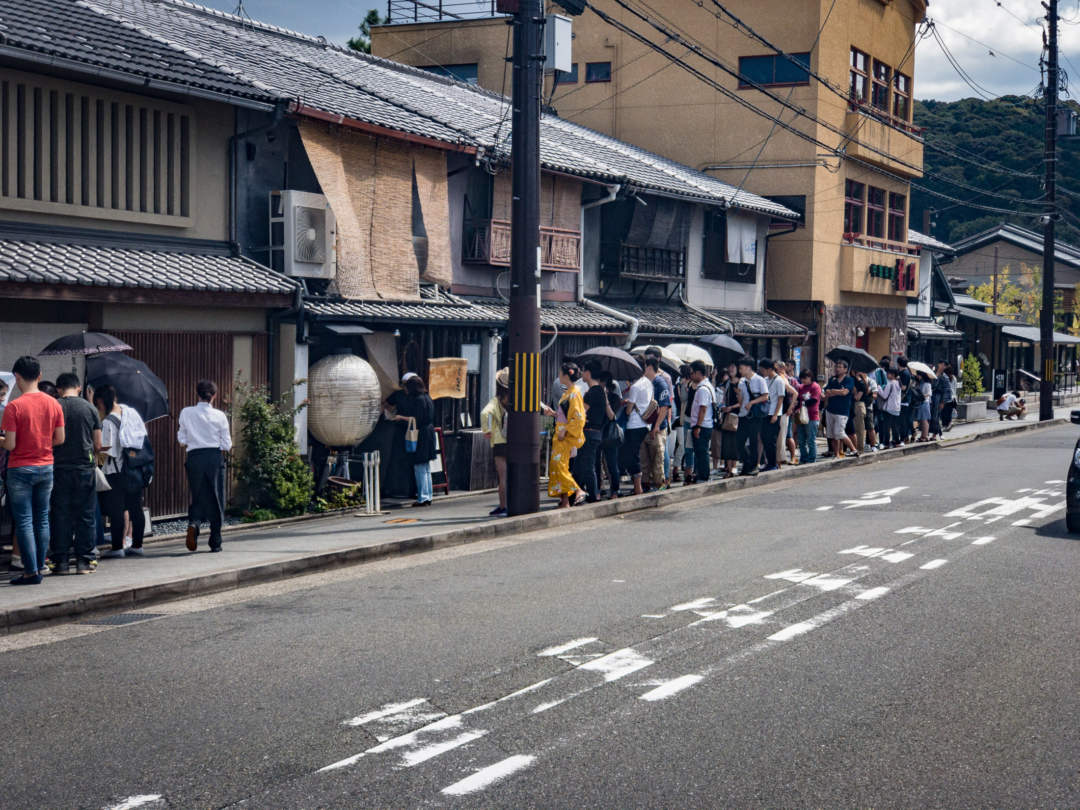
Long Line
waiting for lunch at a restaurant near my house
( the restaurant must be in some kind of tourist guide to get a line like this )
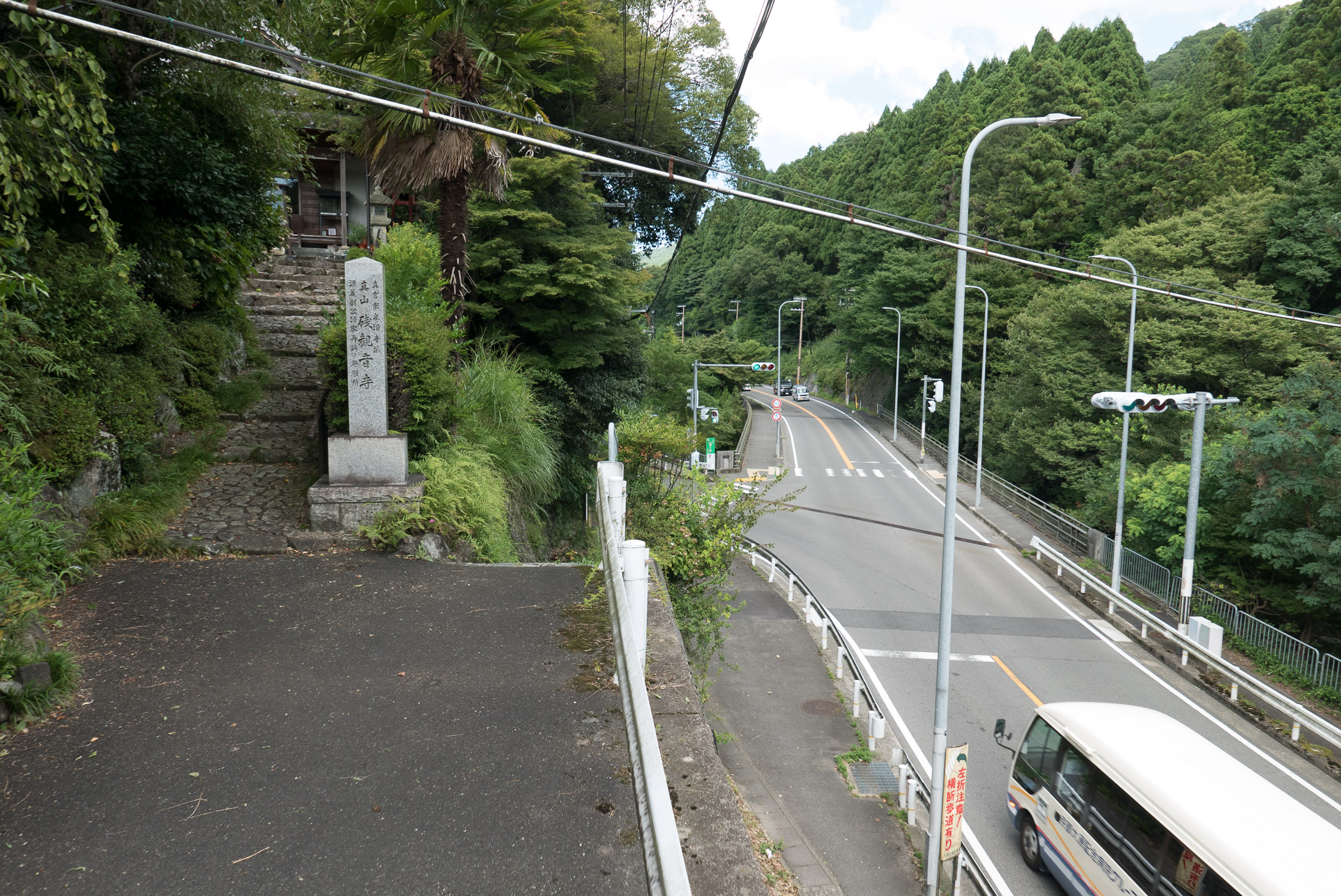
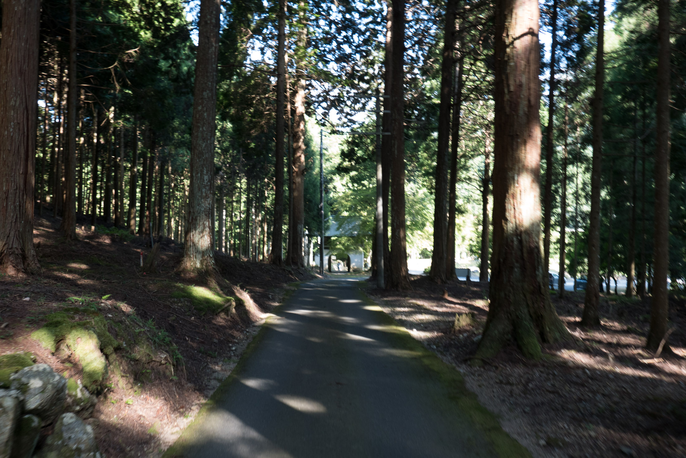
Once I got out of the city, I tried to take any little street that looked like it might go somewhere. Usually they didn't.
Panasonic LX100 at an effective 24mm — 1/125 sec, f/3.5, ISO 200 — map & image data — nearby photos
Dead End
above the main road I've taken dozens of times
Panasonic LX100 at an effective 24mm — 1/125 sec, f/3.2, ISO 200 — map & image data — nearby photos
A Pleasant Shortcut
taken at 20 kph (12 mph)

Panasonic LX100 at an effective 38mm — 1/500 sec, f/5.6, ISO 200 — map & image data — nearby photos
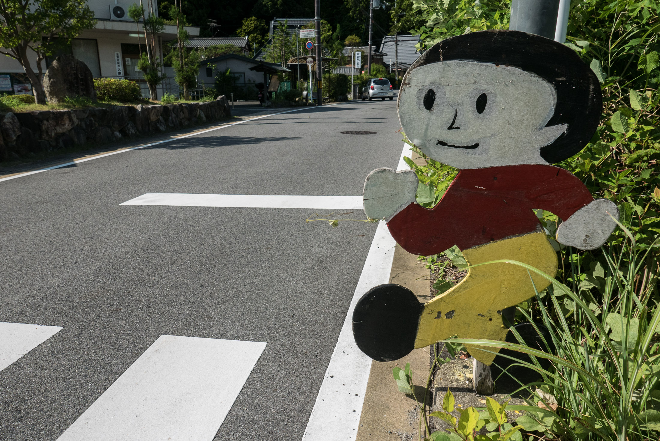
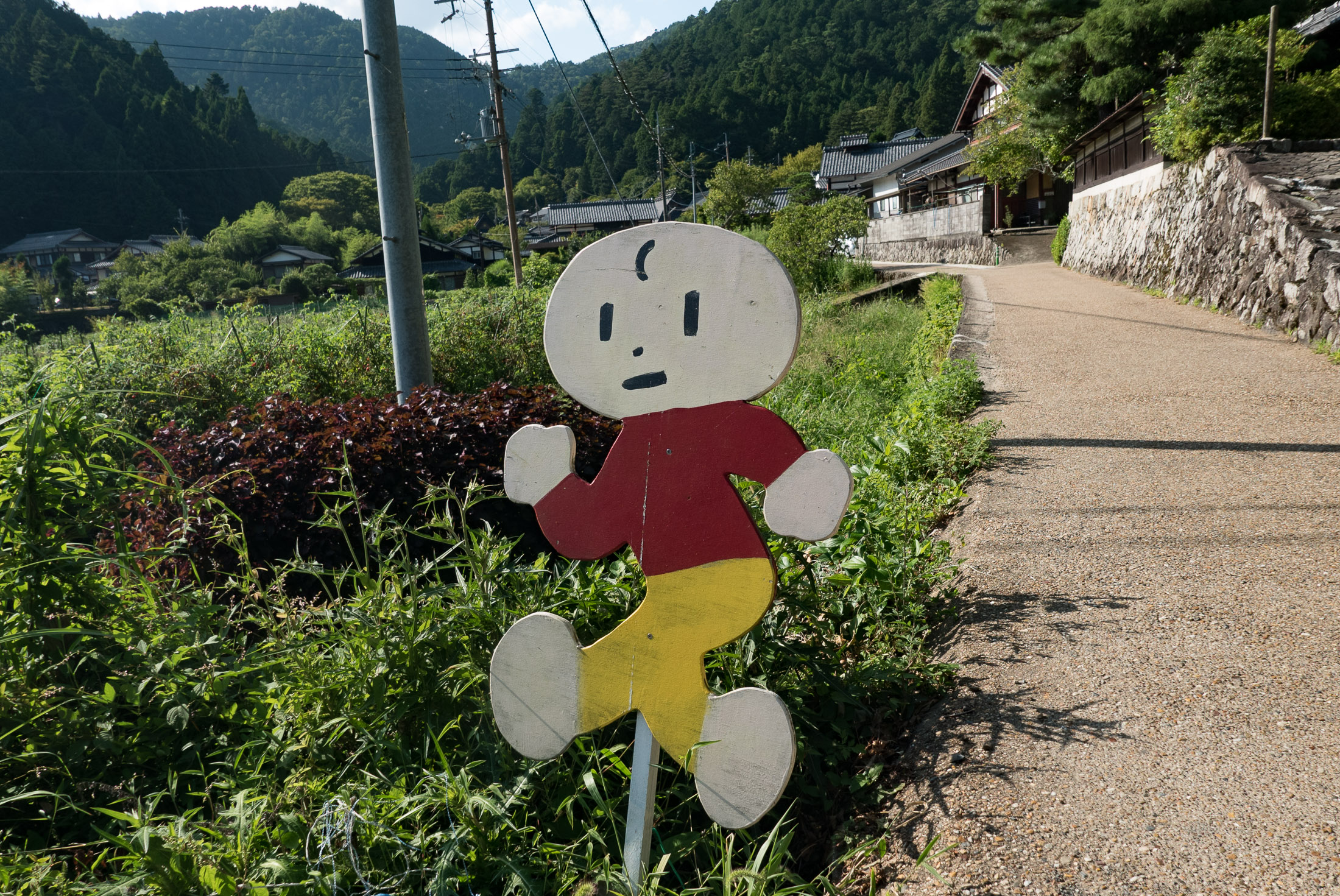
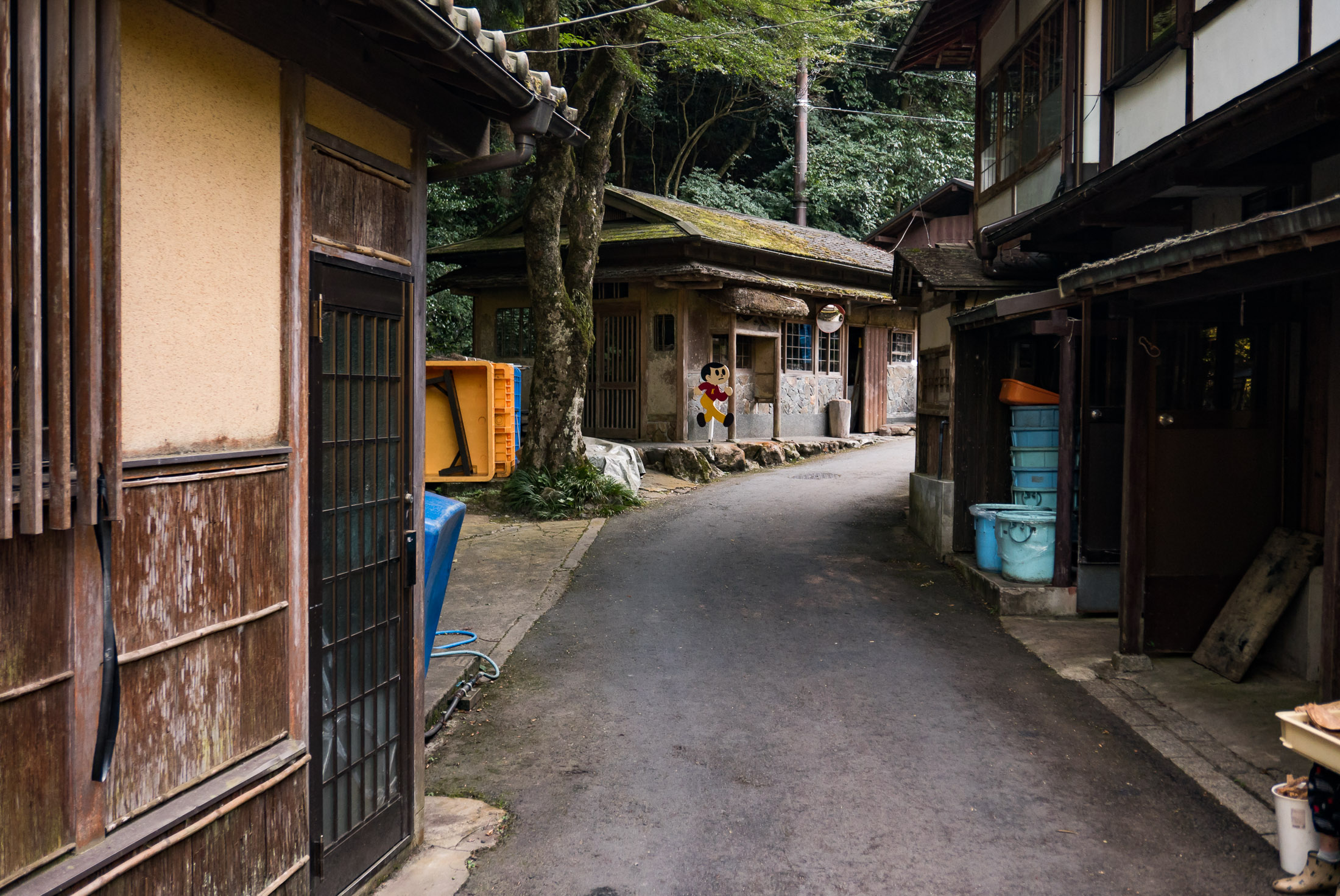
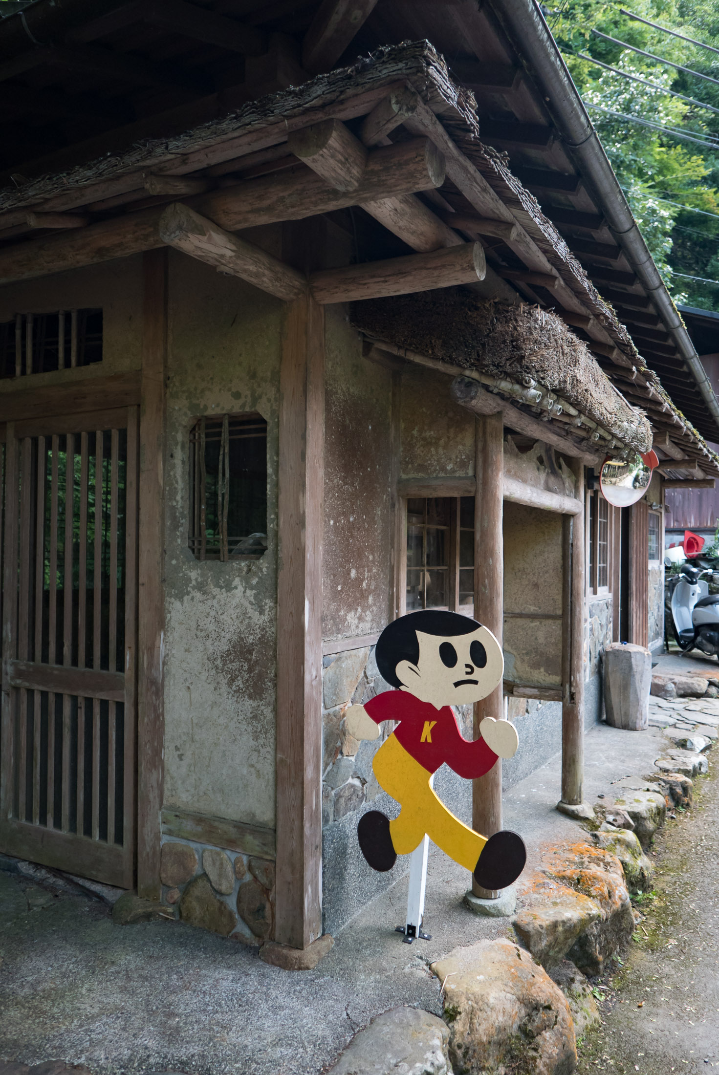
Hand-Made Tobidashi-kun
Reminding drivers that children sometimes dash out,
and reminding children not to.
Before heading out, I scoured the satellite view in Google Earth for things that looked interesting, such as this recently-built dam with a road that wasn't on any map:
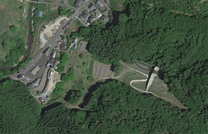
Looks interesting
The approach road, though, was paved only so far, and then I ran into gravel:

Panasonic LX100 at an effective 24mm — 1/125 sec, f/2.8, ISO 200 — map & image data — nearby photos
Rocky Road
I knew from the satellite view that it would become paved again, but I didn't have all that much time, so I decided to defer. Plus, I knew there were two other potential approaches to the dam road, so I went to try them...
Panasonic LX100 at an effective 24mm — 1/320 sec, f/5.6, ISO 200 — map & image data — nearby photos
Also Not Paved
Panasonic LX100 at an effective 24mm — 1/125 sec, f/4.5, ISO 200 — map & image data — nearby photos
This One Neither
Continuing on, I came to another location I'd spotted via Google Earth, a place I'd ridden by dozens of times without ever noticing....
Panasonic LX100 at an effective 32mm — 1/250 sec, f/5.6, ISO 200 — map & image data — nearby photos
Looks Steep
taken at 16 kph (10 mph)
Panasonic LX100 at an effective 24mm — 1/250 sec, f/5.6, ISO 200 — map & image data — nearby photos
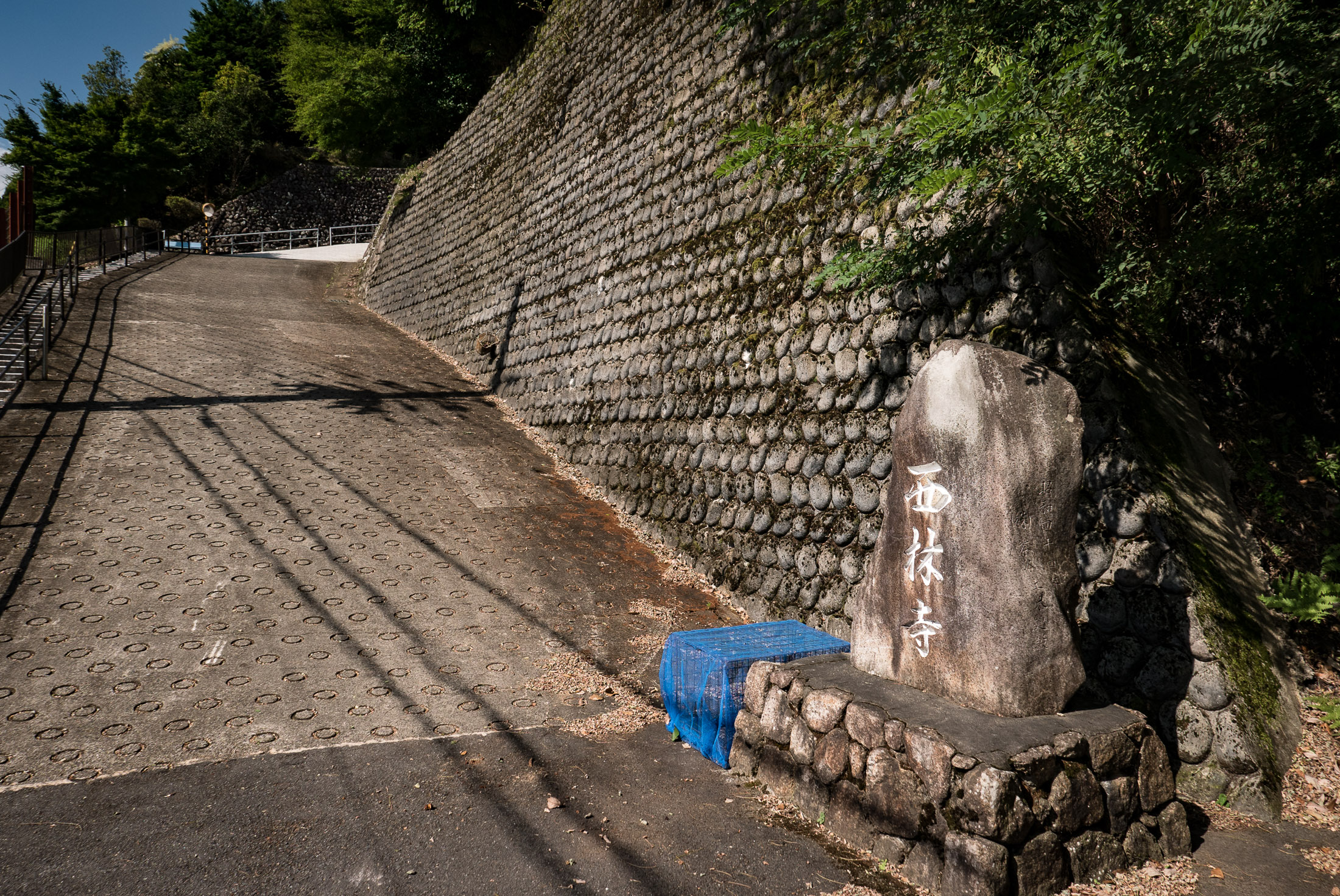
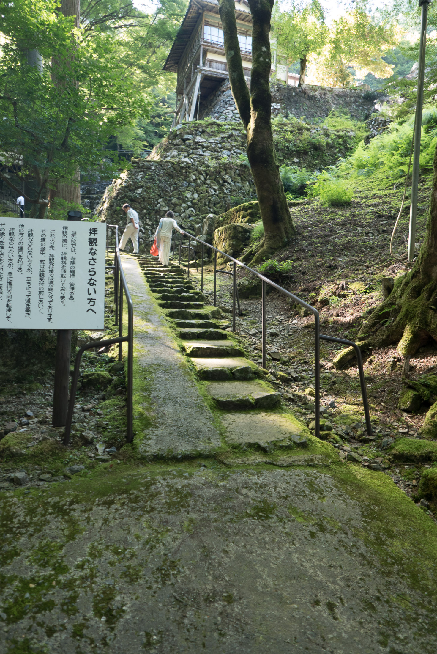
Entrance to the Sairin-ji Temple
西林寺
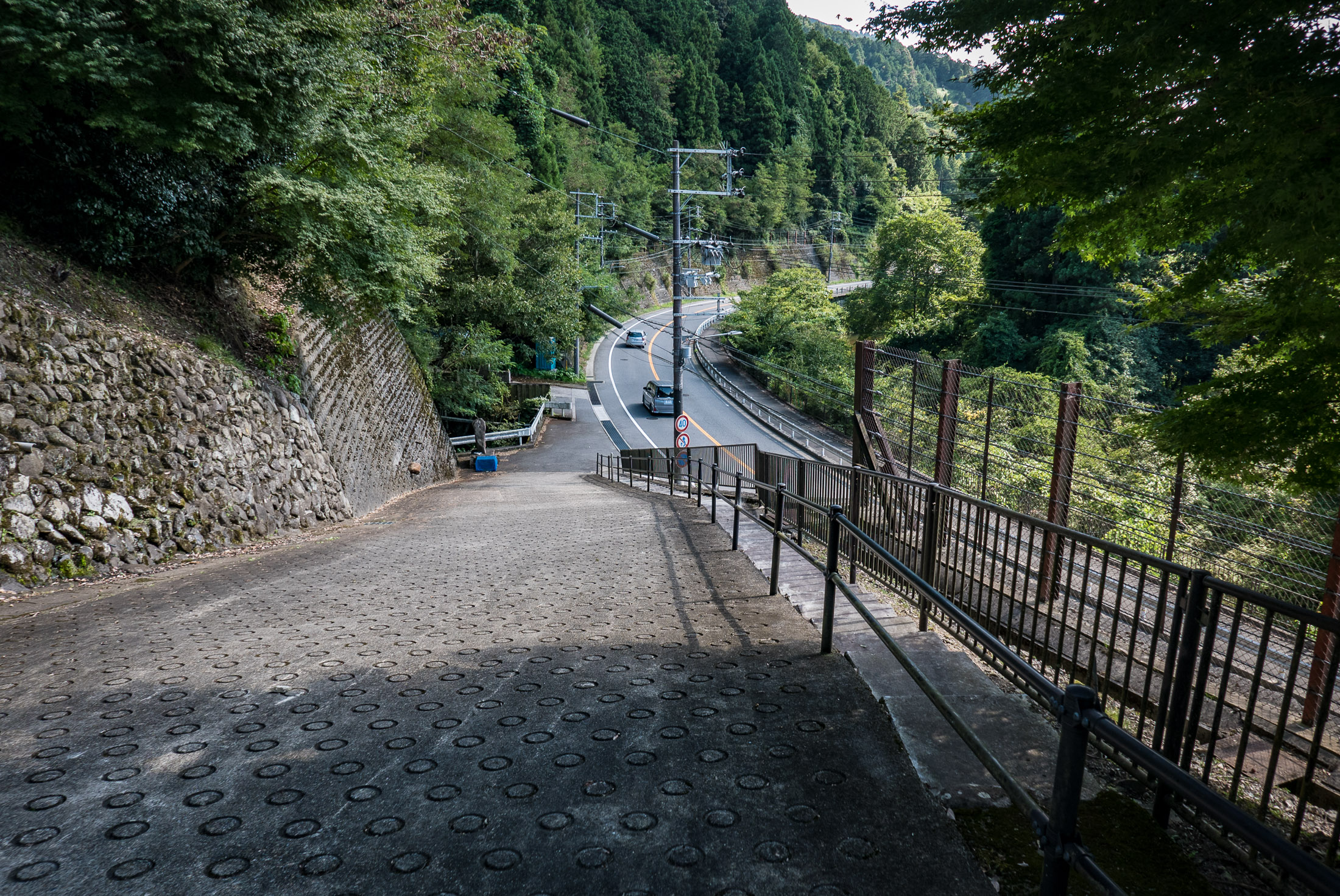
Let's head on up to the first corner...
Panasonic LX100 at an effective 24mm — 1/125 sec, f/4, ISO 200 — map & image data — nearby photos
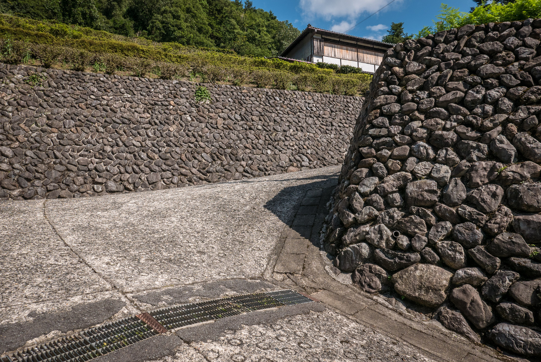
That's Steep
but the road surface is just dandy
Panasonic LX100 at an effective 24mm — 1/1000 sec, f/5.6, ISO 200 — map & image data — nearby photos
Looking Up Around the Corner
it's no less steep, but the road surface becomes much worse
Panasonic LX100 at an effective 24mm — 1/320 sec, f/5.6, ISO 200 — map & image data — nearby photos
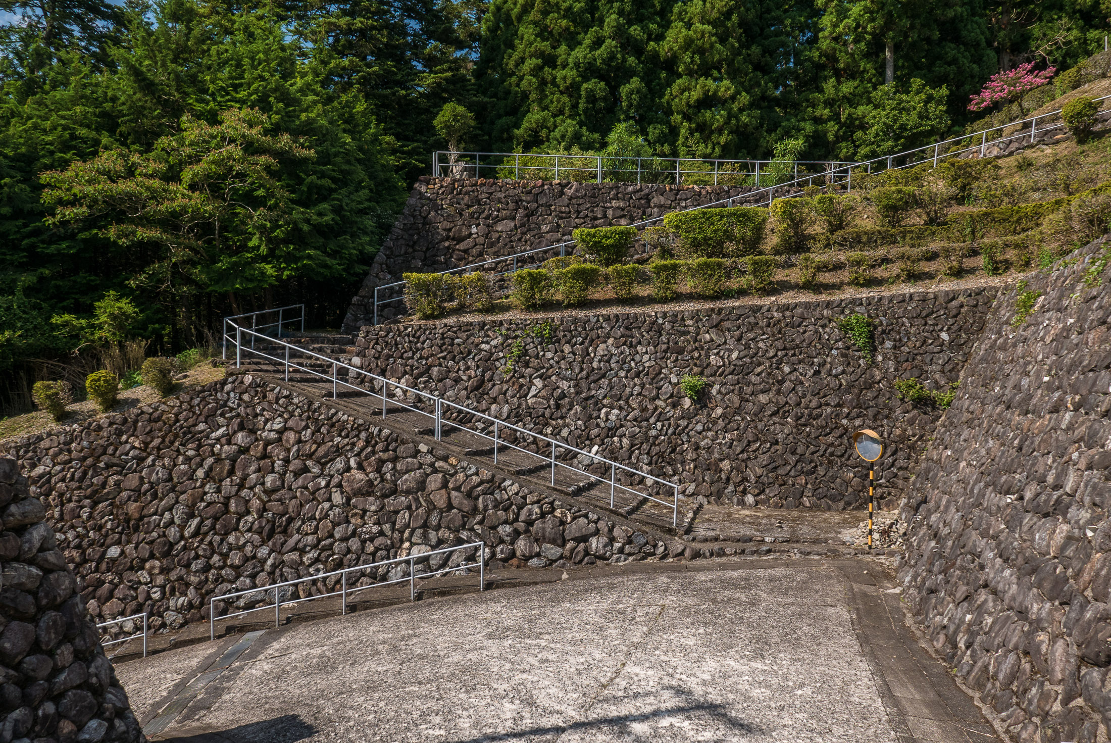
Yikes
Next time I'll use the flat stripe along the wall
Panasonic LX100 at an effective 24mm — 1/400 sec, f/5.6, ISO 200 — map & image data — nearby photos
Another Corner
this is about the halfway point, it turns out

Panasonic LX100 at an effective 24mm — 1/250 sec, f/5.6, ISO 200 — map & image data — nearby photos
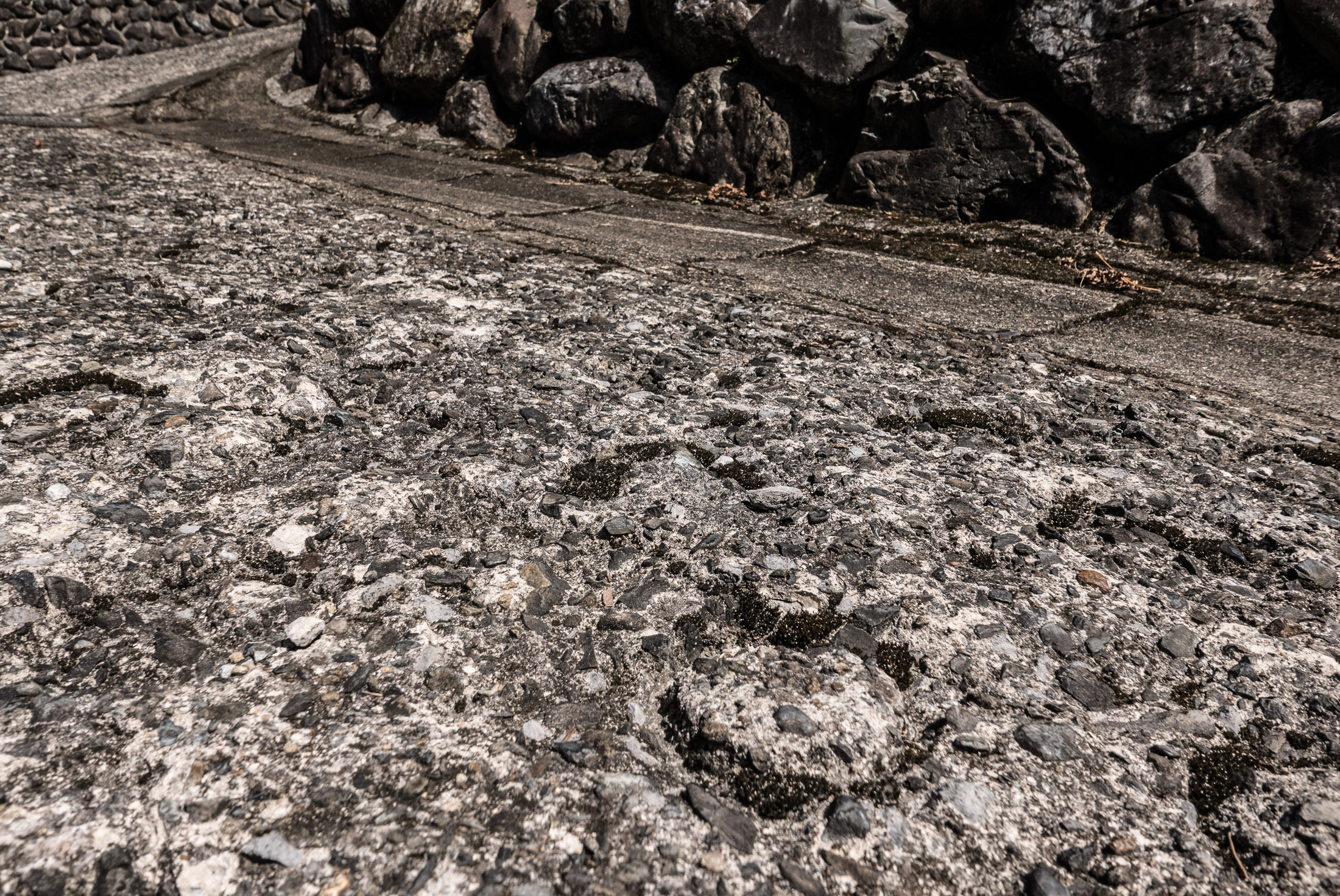
Looking Back to the First Corner
Panasonic LX100 at an effective 24mm — 1/250 sec, f/5.6, ISO 200 — map & image data — nearby photos
Looking Back
to the second corner
Until this point the average grade is just over 25%, but it flattens out a bit around one more corner, eventually reaching the temple...
Panasonic LX100 at an effective 24mm — 1/125 sec, f/5.6, ISO 200 — map & image data — nearby photos
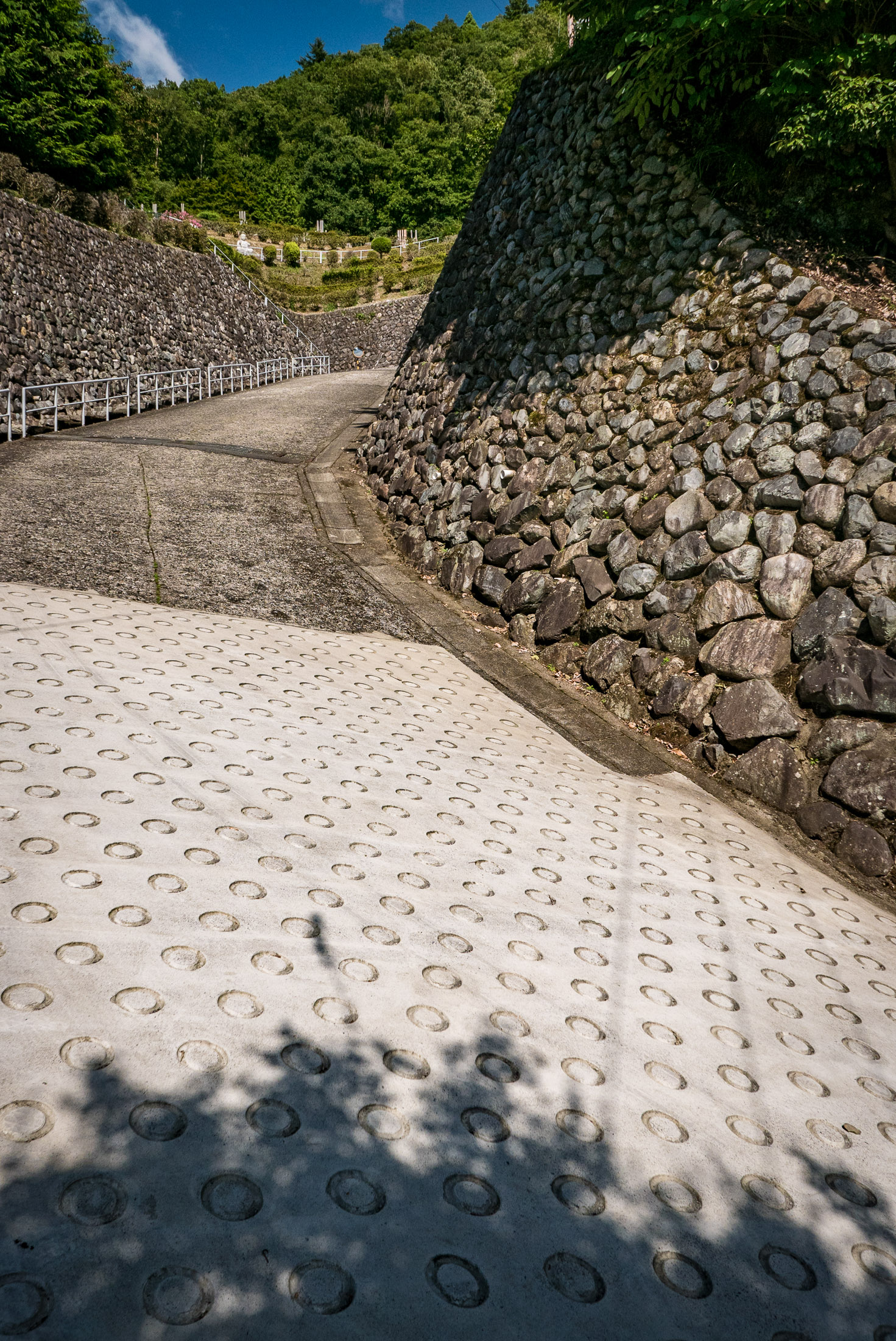
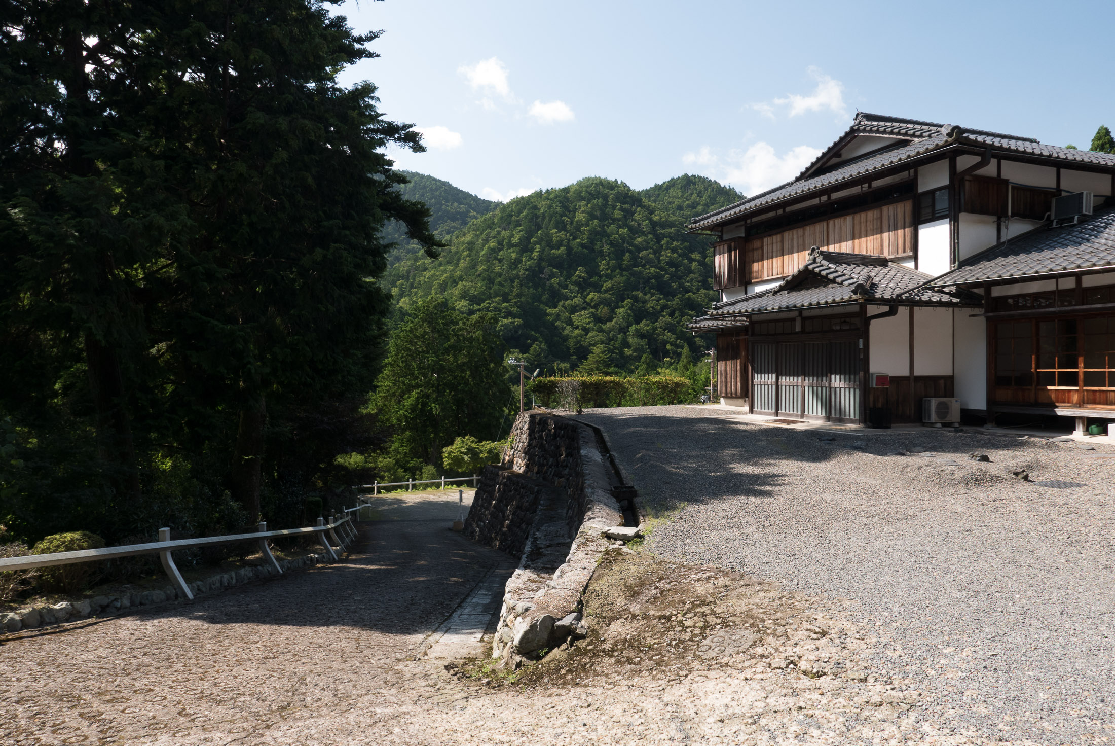
Looking Back at the Road
after having arrived at the top
Panasonic LX100 at an effective 24mm — 1/200 sec, f/5.6, ISO 200 — map & image data — nearby photos
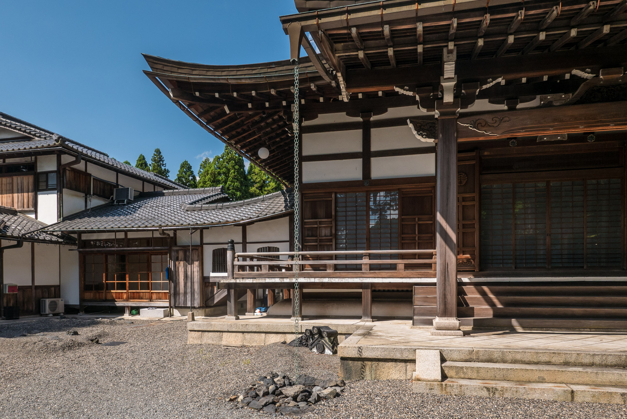
Sairin-ji Temple (西林寺)
Because it flattened out at the end, the full climb from the road averages only 22.1% over its short-but-sweet distance of 150m. It's a little longer and a little steeper than the “Nasty” hill in Kyoto.
Sadly, Strava no longer allows one to create that-short a segment. The shortness of the segment, combined with the impreciseness of GPS tracking that non-geek athletes don't really understand, probably results in too much burden on their customer-service department, so they just disallow them now. One Stava user got around the problem by extending the distance to include 170m of the run-up to the climb in the segment, creating the “for Sairinji Climb” segment. Better than nothing. I'm the third Strava user to have made the climb.
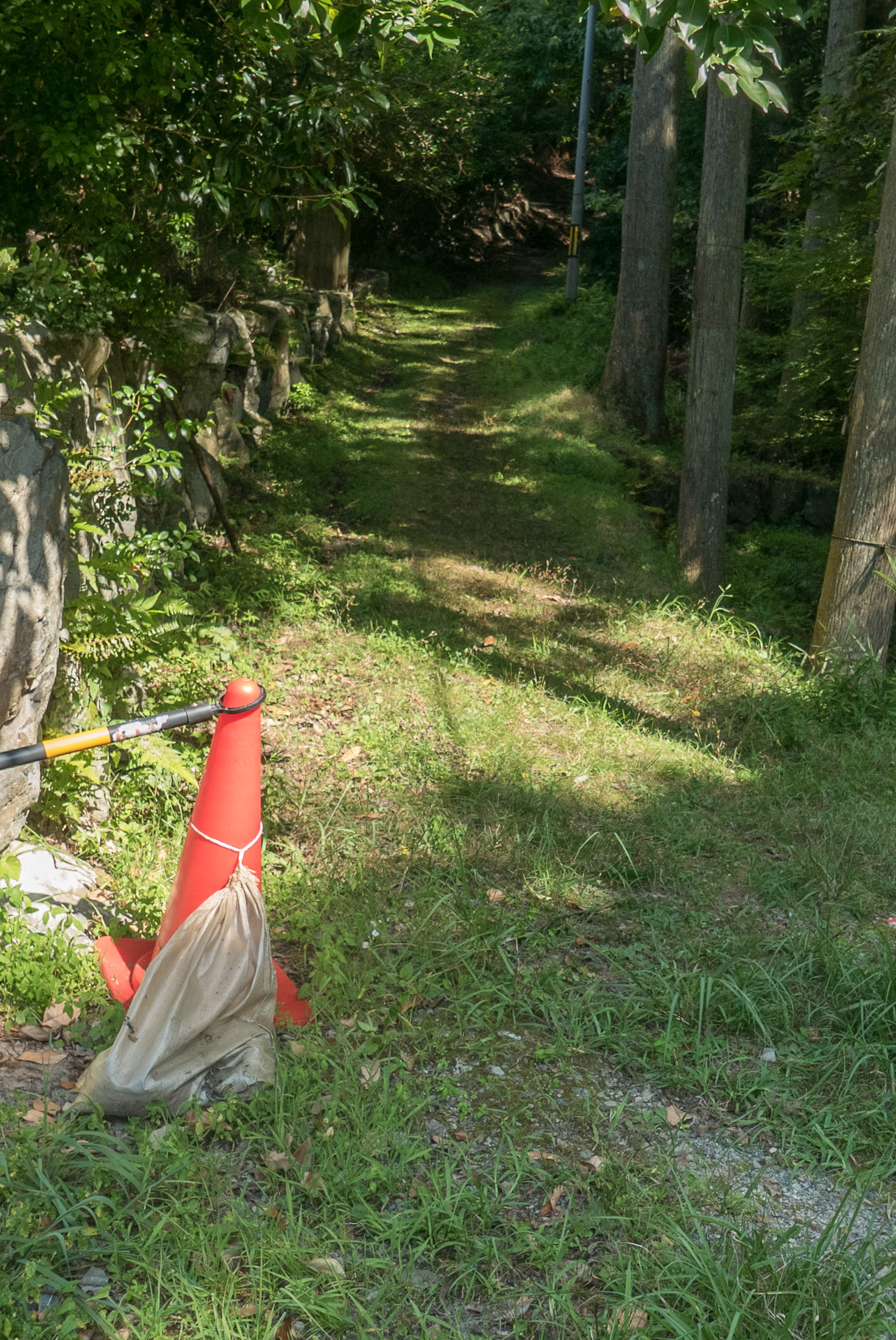
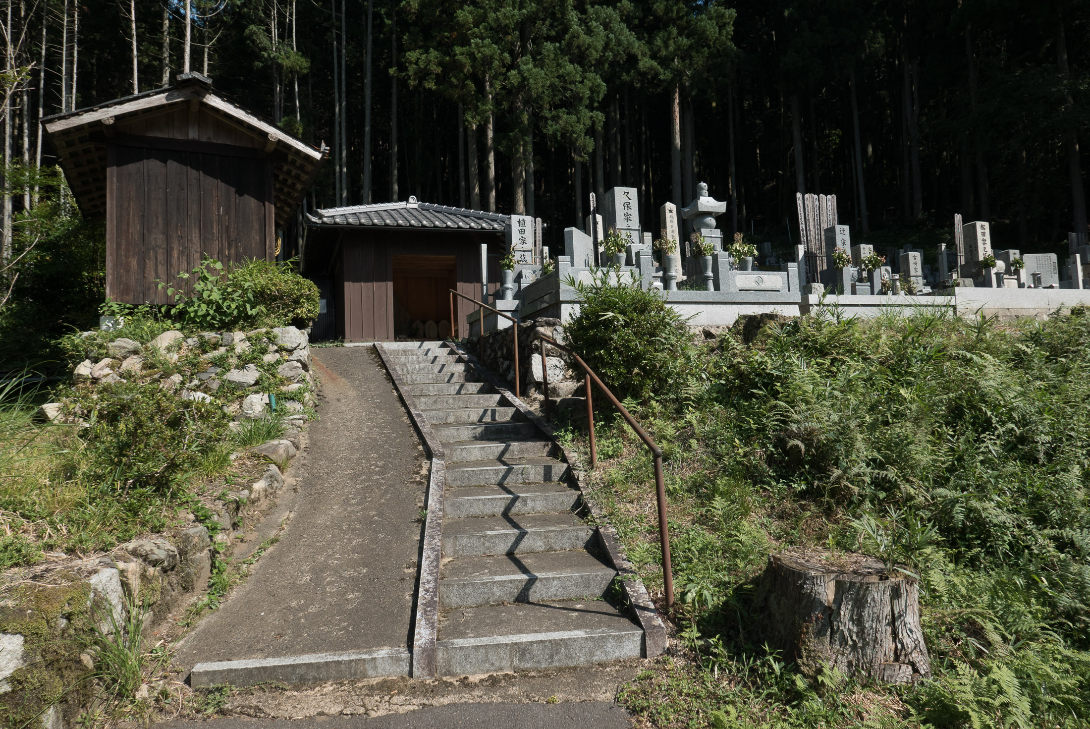
I continued on my way to putz around the minor streets. One paved street ended at a little cemetery.
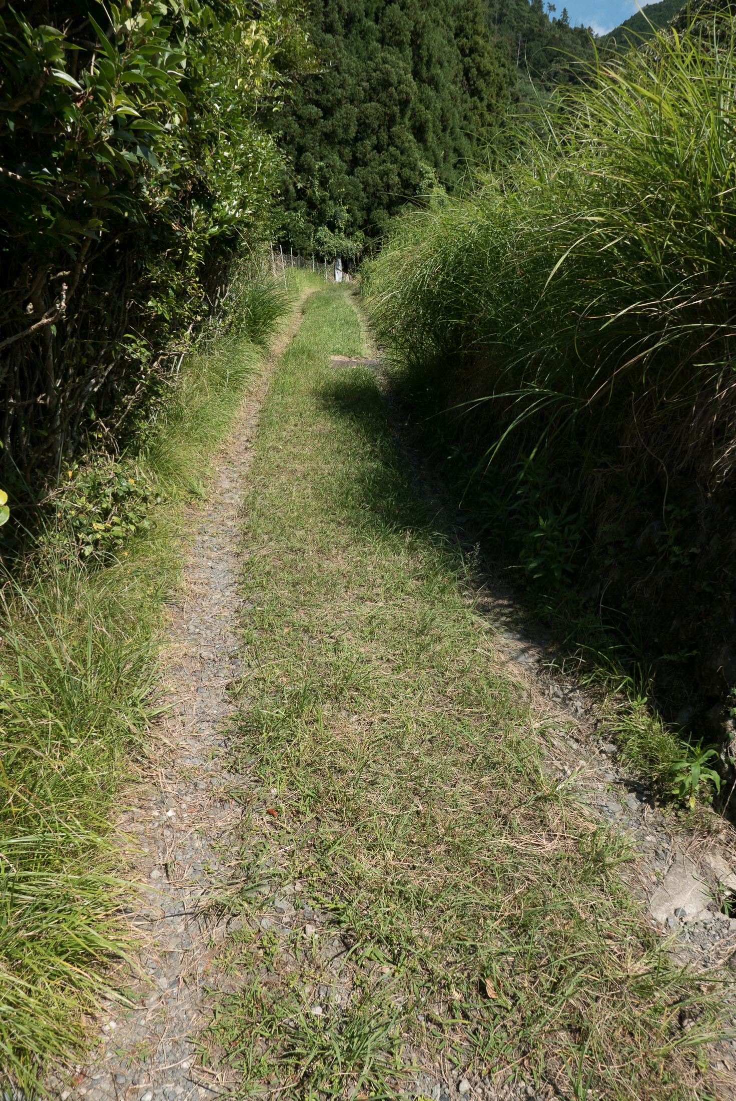
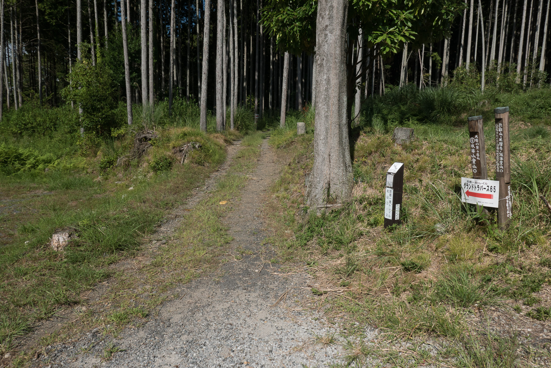
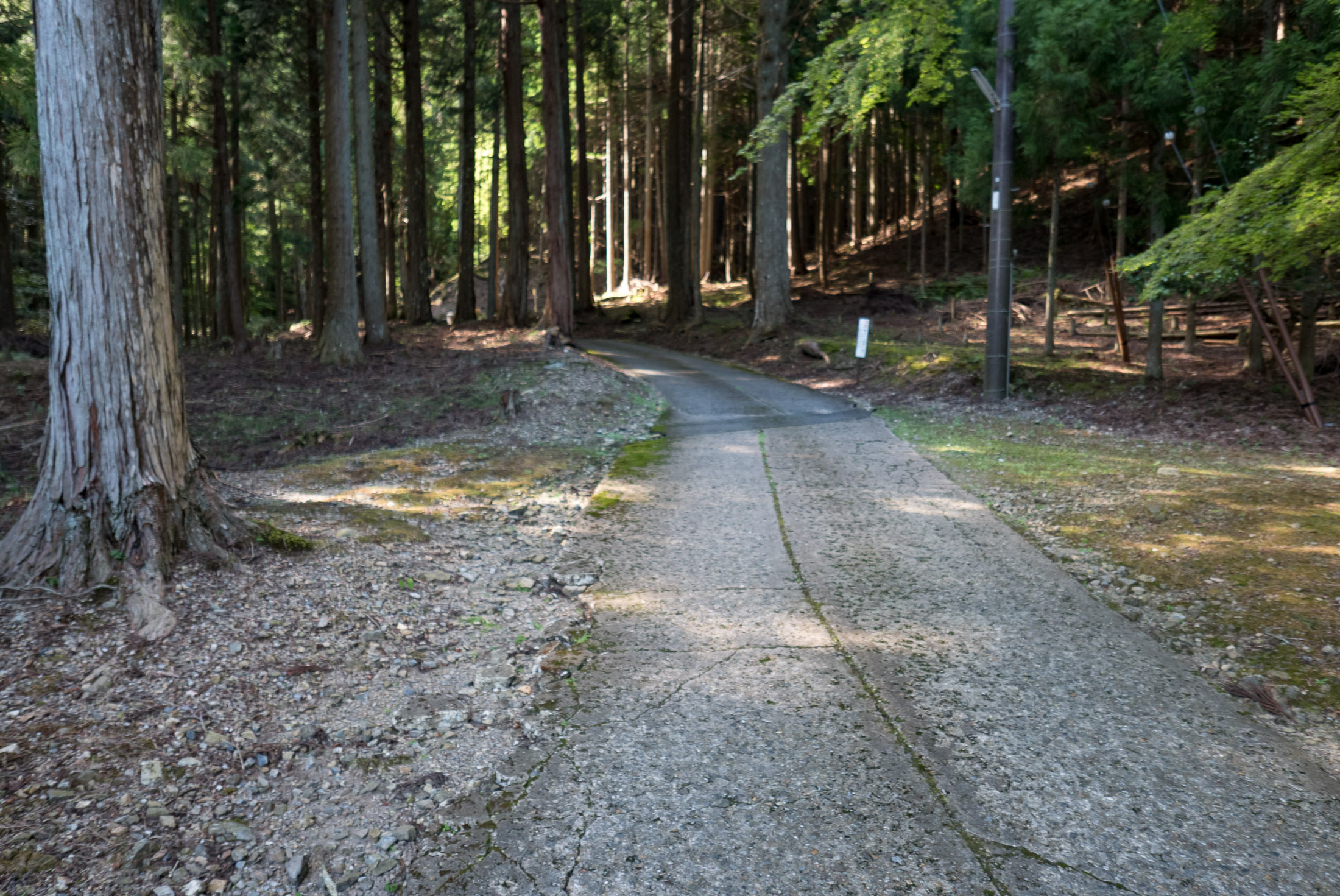
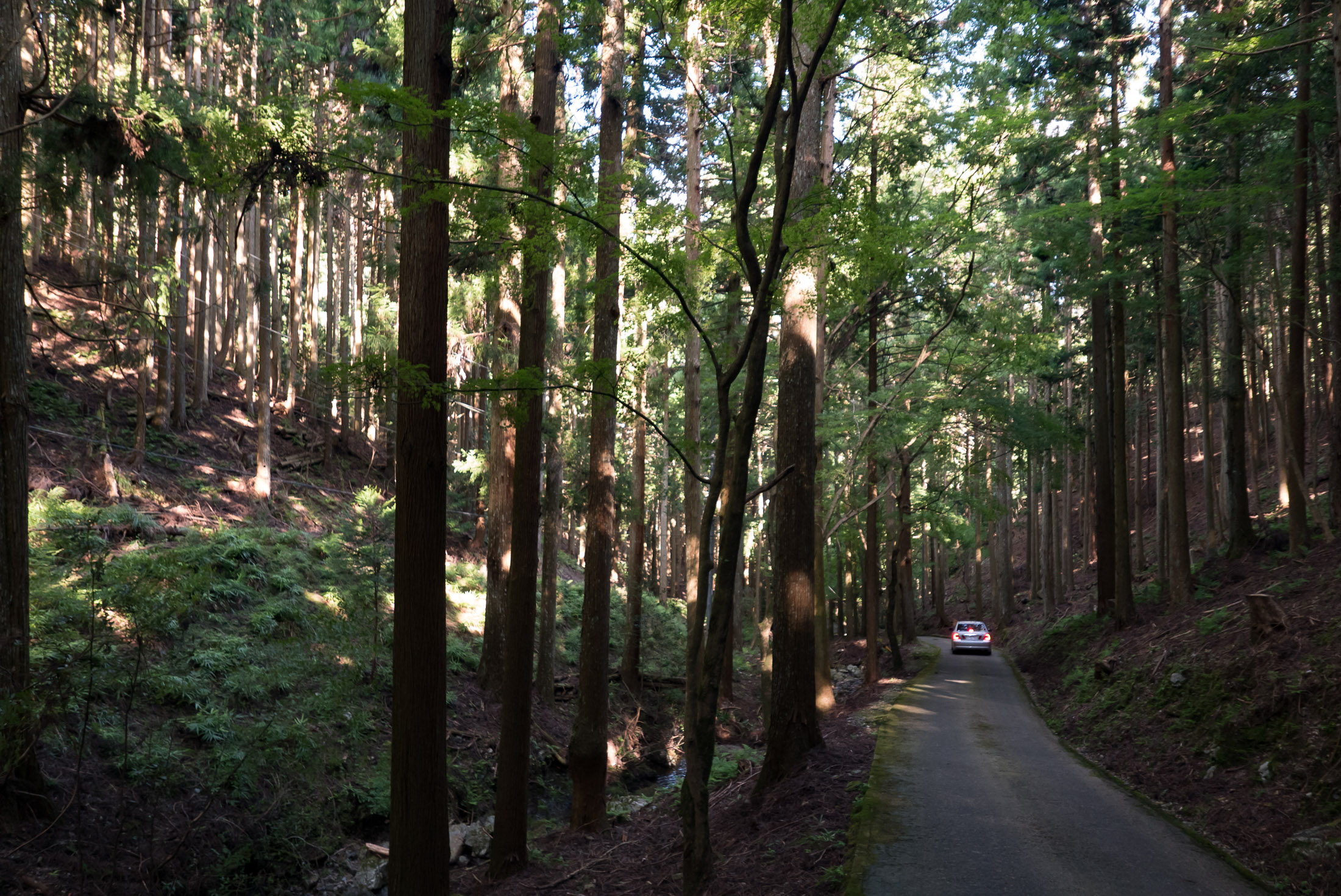
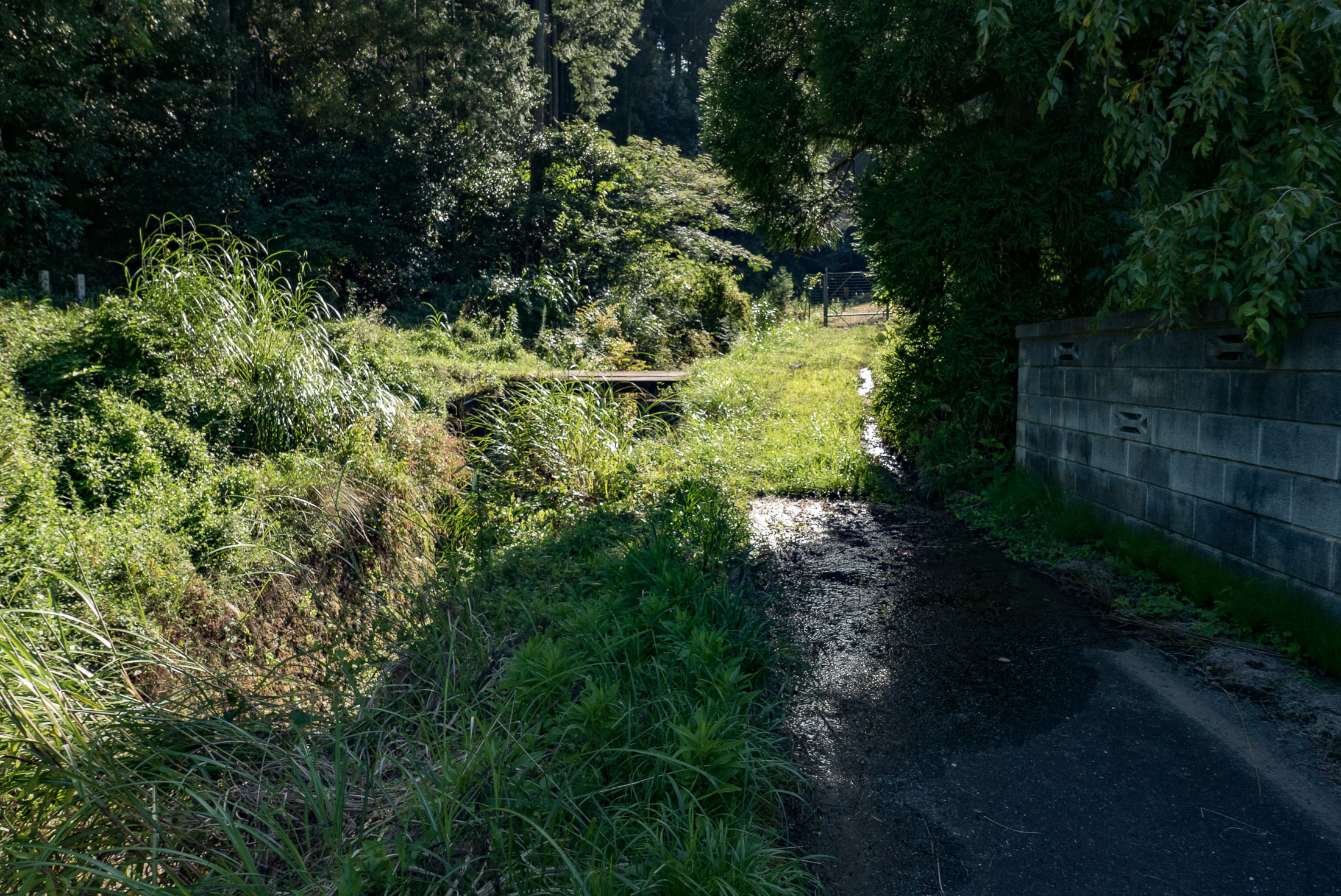
The road continued into the woods, but unpaved...
Panasonic LX100 at an effective 24mm — 1/500 sec, f/5.6, ISO 200 — map & image data — nearby photos
Continues Unpaved
as seen on the minor-road blog.
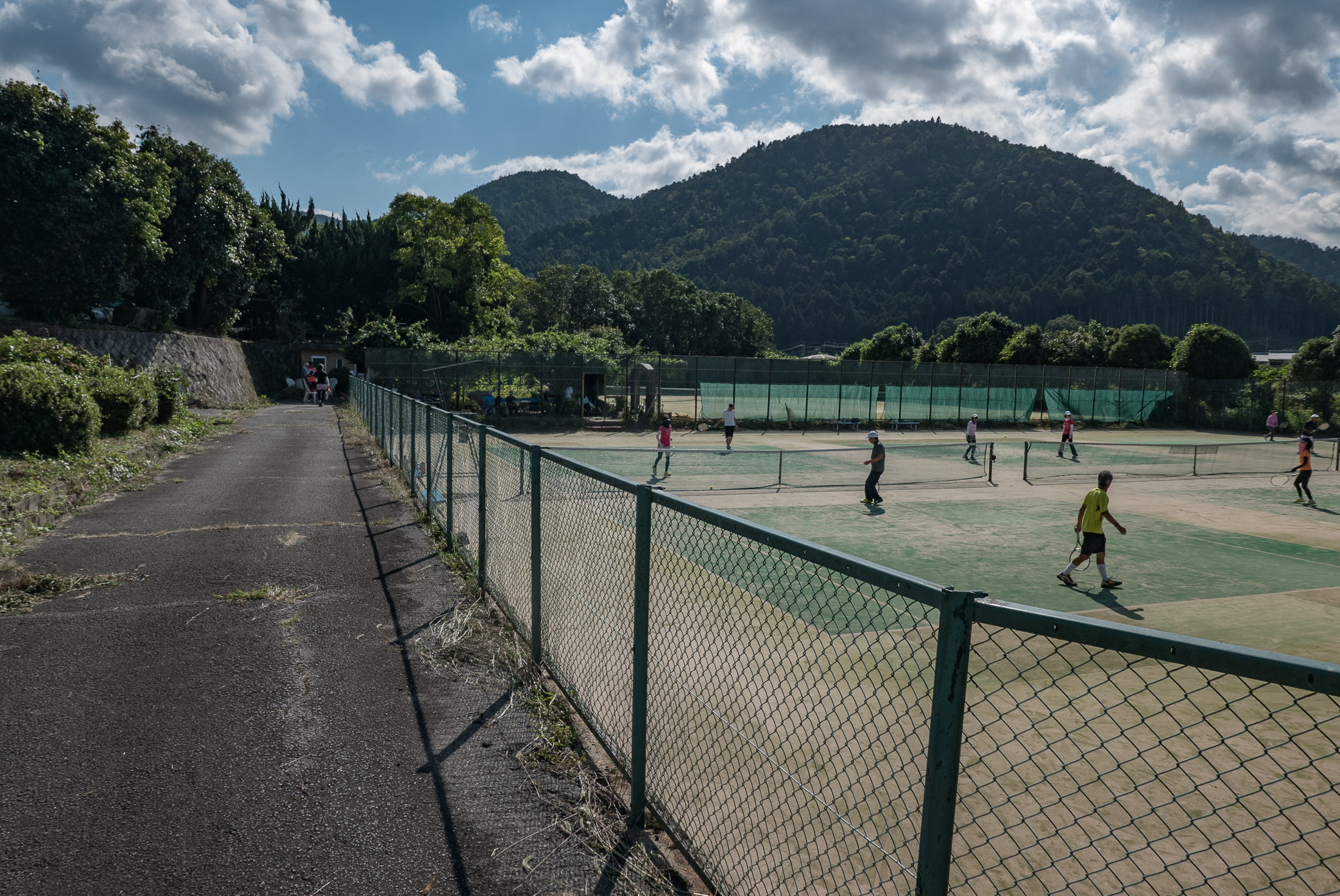
The maps I consulted indicated that in one area I should find some tennis courts, and indeed I did...
Panasonic LX100 at an effective 24mm — 1/640 sec, f/5.6, ISO 200 — map & image data — nearby photos
These Tennis Courts Exist
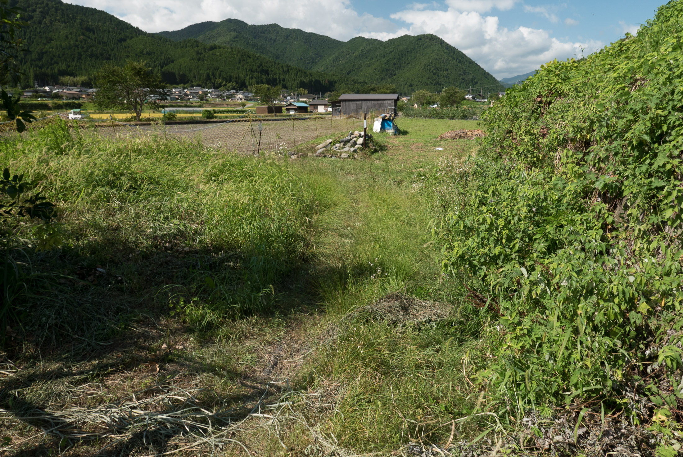
... but the road that they indicated should have exited from the area, not so much:
Panasonic LX100 at an effective 24mm — 1/250 sec, f/5.6, ISO 200 — map & image data — nearby photos
Not a Road
despite what the maps said
Panasonic LX100 at an effective 24mm — 1/640 sec, f/5.6, ISO 200 — map & image data — nearby photos
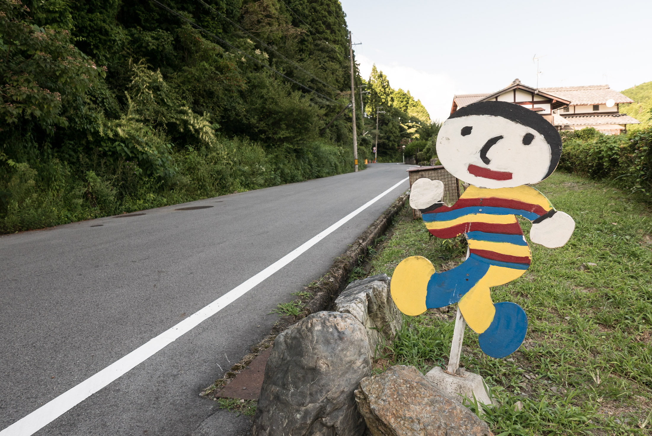
Somewhat Nervious Tobidashi-kun
Panasonic LX100 at an effective 24mm — 1/125 sec, f/4.5, ISO 200 — map & image data — nearby photos
Still Wearing His PJs?
I finally made my way to the main road I wanted to check out, the driveway to a temple. I'd often stopped by the pretty area where the driveway meets the road, but it seems I've posted about it only once, here.
For some reason I thought the driveway was off limits to all but pedestrians, but after seeing the report on the minor-road blog, I knew it was okay. There's a parking lot up there.
Panasonic LX100 at an effective 24mm — 1/125 sec, f/1.7, ISO 320 — map & image data — nearby photos
Heading In
Panasonic LX100 at an effective 24mm — 1/100 sec, f/1.7, ISO 200 — map & image data — nearby photos
Looking Back
from near the start

Panasonic LX100 at an effective 24mm — 1/125 sec, f/1.7, ISO 500 — map & image data — nearby photos
Steep and Mossy
Let me say up front that when it's dry, as it was when I was there, the road is perfectly fine to ride up and down.
But the moss on the edges would make me very wary to take this road were it wet. Still, this road is nowhere near as bad as the road to the Ushio Kannon Temple, which is scary-slippery in the best of times.
Panasonic LX100 at an effective 24mm — 1/60 sec, f/1.7, ISO 250 — map & image data — nearby photos
End of the Road
Panasonic LX100 at an effective 24mm — 1/60 sec, f/1.7, ISO 500 — map & image data — nearby photos
Heading Back Down
Panasonic LX100 at an effective 24mm — 1/200 sec, f/5.6, ISO 200 — map & image data — nearby photos
Different
Panasonic LX100 at an effective 43mm — 1/125 sec, f/3.2, ISO 200 — map & image data — nearby photos
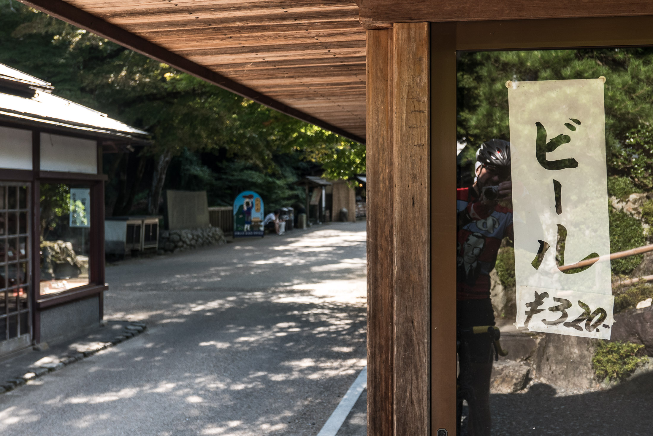
Looks Inviting
“Beer 320 yen” (about US$3)
Panasonic LX100 at an effective 37mm — 1/80 sec, f/2.4, ISO 500 — map & image data — nearby photos
Approaching Tobidashi-kun “K”
In his article on this road, the author of the minor-road blog noticed that this tobidashi-kun has a “K” on it, and wondered what it meant...
Panasonic LX100 at an effective 25mm — 1/125 sec, f/1.8, ISO 640 — map & image data — nearby photos
この飛び出し君の「K」は「けん」という現地の子供の意味です。
けん君の父親はこの飛び出し君を作った。
So I asked a local, and it turns out that I was talking to the grandmother of a “Ken”, a young child that lived there. His father had made the tobidashi-kun, so added a “K” for his son's name. The lady went on to explain that people steal these things (“geez, how rotten do you have to be?”, I thought), so the father thought to personalize it in the hopes that no one would take it.
Panasonic LX100 at an effective 24mm — 1/125 sec, f/3.2, ISO 200 — map & image data — nearby photos
Ken
small child on the push-bike in the center of the (dead-end) road
道の中にいる子供はけん君です
Panasonic LX100 at an effective 24mm — 1/125 sec, f/5.6, ISO 200 — map & image data — nearby photos
Another Non-Paved Road
that I'll leave to others to explore

Panasonic LX100 at an effective 24mm — 1/125 sec, f/4, ISO 200 — map & image data — nearby photos
I Dunno
what this is
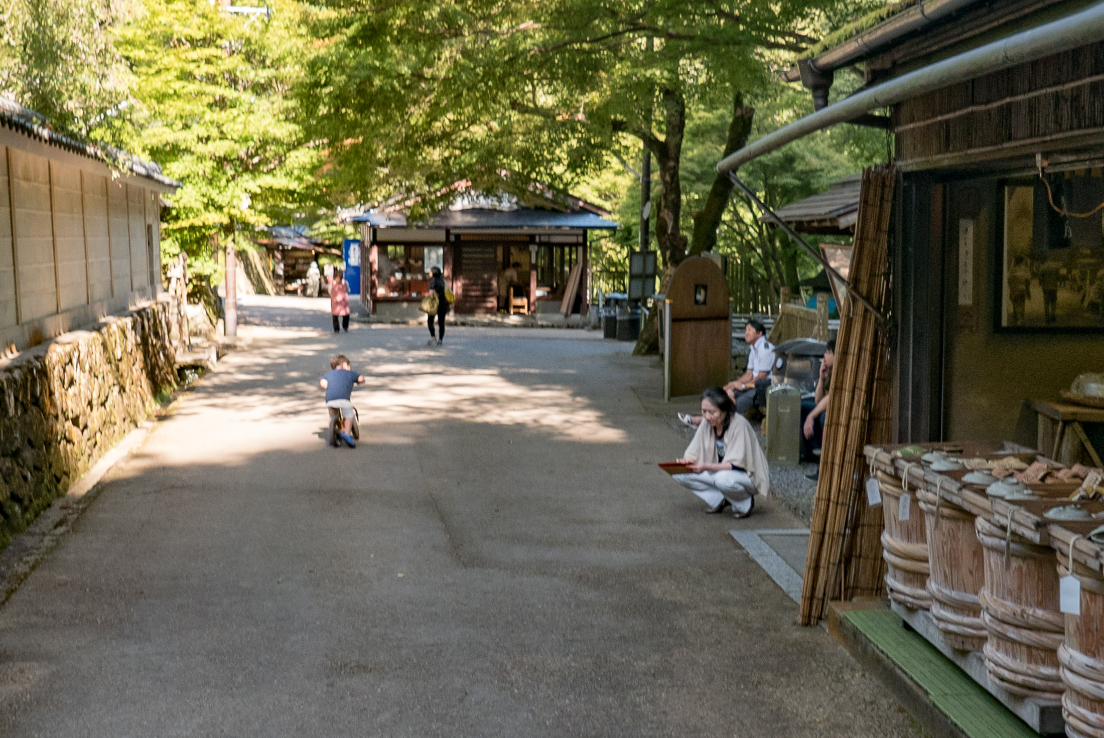
All in all it was a pleasant ride. I returned home to find that I'd whittled another second off my best time on this sprint segment, having taken advantage of a partial tailwind. That puts me tied for seventh out of 1,327 people. Now if I can just shave a few more seconds off....
From Portland, OR: Forgive me if I misunderstood your caption, but the last photo of this post is a picture of Keroro Gunso.
Thanks, I had no idea! I’d never heard of Keroro Gunso —Jeffrey
Allll the tobidashi! Makes me realize I haven’t particularly noticed any here (Nikko). We have a lot more elevation markers though.